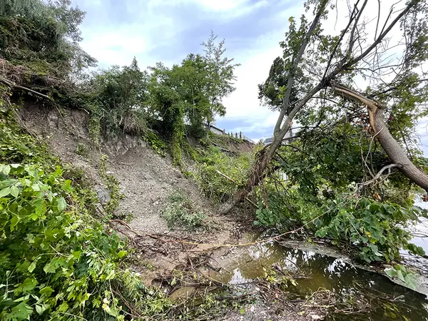
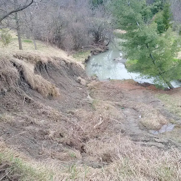
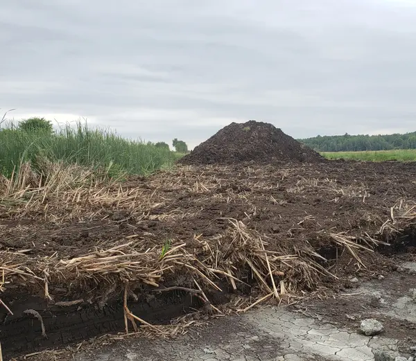
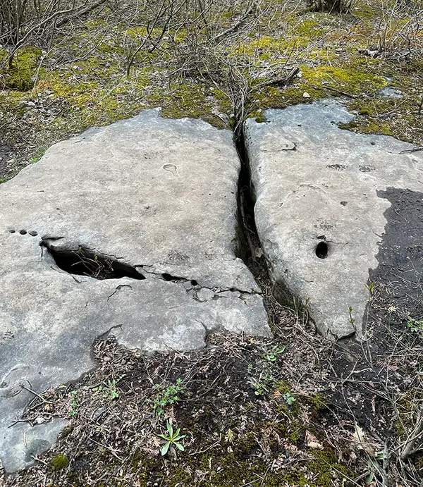
Hazard lands are areas that are inherently dynamic, unstable or potentially dangerous to people or property due to the physical environmental processes that can occur on or within them. Within the RVCA's jurisdiction, significant natural watershed hazards include floodplains, erosion, unstable slopes and areas of organic soils within wetlands. Karst forms another, but lesser, hazard.
RVCA is mandated to regulate development in and around these natural hazards under the provincial Conservation Authorities Act. Development is directed away from hazard areas that are susceptible to natural disasters, or where development could increase the likelihood or severity of risks associated with existing hazards.
How do we determine where hazards are?
Hazard mapping studies are technical reports that use information from each watershed to determine the extent of the hazard on the landscape. Staff develop hydrologic models and slope stability assessments along watercourses, lakes and valley lands to better understand how floods, erosion, unstable slopes and other hazards could affect urban and rural communities.
Combined with our flood forecasting and warning program, RVCA can use this information to warn municipalities and residents of potential problems, and in some cases restrict further development in those areas to keep people and property safe.
Types of Hazards
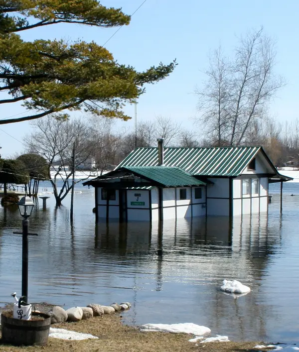
Local flood hazards occur on water-adjacent lands (the floodplain). Flood hazard mapping considers the geometry of the waterbody, slope of the land, amount of precipitation and/or snowmelt needed to produce a flood and tendency for ice-jams to determine the hazard regulation limit based on a 1:100 return period, or a 100-year flood. This doesn't mean the area will experience a major flood once every 100 years; rather, that there’s a 1-in-100 or 1% chance of a flood reaching the regulation limit in any given year.
Major flooding has occurred most recently along the Ottawa River in 2017 and 2019 and along Stevens Creek in 2017. The Rideau River’s most significant flood on record was in 1976.
Conservation authorities are responsible for riverine flooding. Urban flooding such as overflowing storm sewers, ditches or swales that result in street and basement flooding is a municipal responsibility.
Where are Rideau Valley floodplains located?
Formal hazard mapping is available for some regions, but not all floodplains have been formally mapped across the watershed. The most up-to-date locations of floodplains can be found in the RVCA’s publicly-accessible GeoPortal.
