What is a watershed?
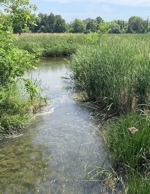
A watershed or drainage basin is an area of land that catches and drains precipitation into a particular marsh, stream, river, lake or groundwater. Watersheds can vary in size from millions of acres, like the Ottawa River watershed, to just a few acres that drain into a pond. Homes, farms, cottages, forests, small towns, big cities and more can all be part of a healthy watershed. Some cross municipal, provincial and even international borders.
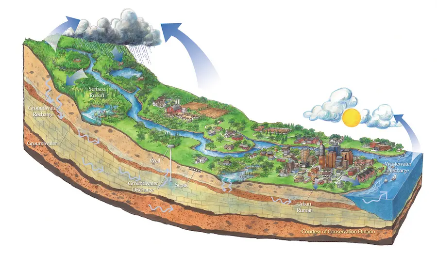
Healthy Watershed, Healthy Communities
The Rideau Valley Watershed
The approximately 4,000-km2 Rideau Valley Watershed has existed for millennia, carved away long ago by glacial retreat to create the long, narrow depressions that now hold the region’s many lakes and rivers. Beginning in Central Frontenac, the basin drops about 80 metres as it descends north to downtown Ottawa and east to Clarence-Rockland.
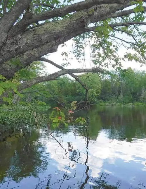
Our watershed includes a bountiful network of lakes and wetlands big and small, several major and minor rivers and dozens of tributary streams. The watershed can be divided into eight smaller subwatersheds or drainage areas based on regional drainage patterns.
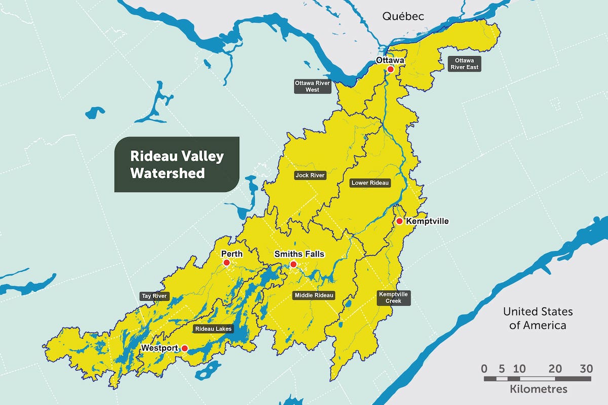
Subwatersheds
- Tay River Subwatershed
- Rideau Lakes Subwatershed
- Middle Rideau Subwatershed
- Kemptville Creek Subwatershed
- Jock River Subwatershed
- Lower Rideau Subwatershed
- Ottawa West
- Ottawa East
Two subwatersheds in our jurisdiction, Ottawa West and Ottawa East, flow into the Ottawa River. Within these subwatersheds there are 89 individual catchments, which bound the drainage areas of specific rivers and other waterways across the watershed.
Learn more about the watershed
Water Quality Geoportal
The most up-to-date water quality data can be found in our Water Quality Geoportal.
Please note that some data, including City of Ottawa Baseline data, is not available in this format.
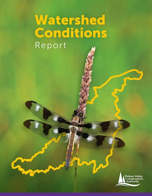
2023 Watershed Conditions Report
The RVCA’s 2023 Watershed Conditions Report includes a comprehensive analysis of historic surface water quality trends at the subwatershed and catchment level.
Subwatershed & Catchment Reports (Historical)
Water quality data has historically been compiled and analysed in subwatershed and catchment-level reports.
