Flood & Hazard Mapping Reports
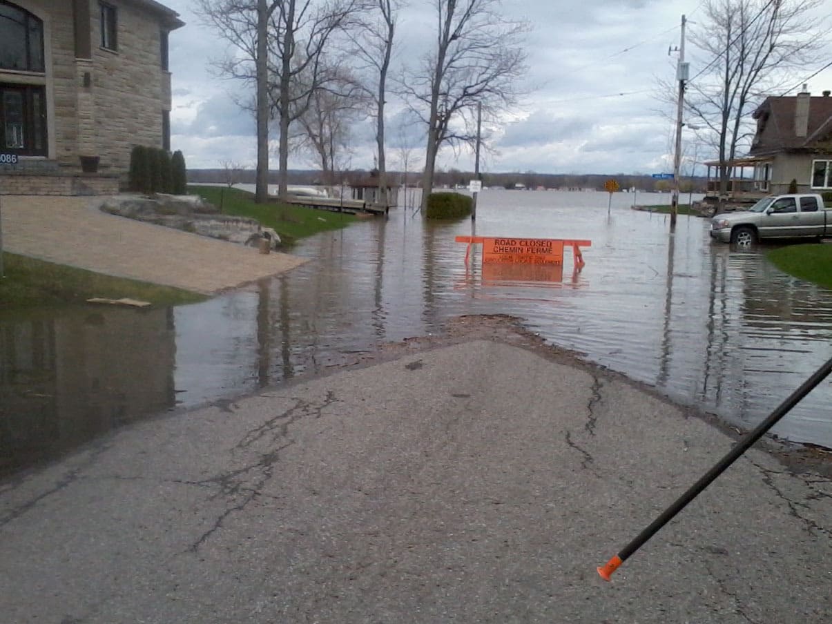
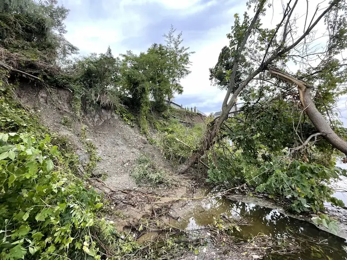
RVCA is mandated under the provincial Conservation Authorities Act to regulate development in and around natural hazards such as floodplains, erosion, unstable slopes and areas of organic soils within wetlands.
Development is directed away from these hazard areas to:
- prevent injury and loss of life;
- minimize property damage;
- reduce public and private expenditures related to emergency response, clean-up and insurance claims;
- minimize the hazards associated with development in floodplains and erosive areas, which in future years may require expensive protective measures.
Draft hazard mapping is reviewed by affected landowners and municipalities before new regulated areas come into effect. Watershed municipalities use approved hazard mapping when updating their Official Plan and Zoning Schedules, and when reviewing development applications under the Planning Act. The RVCA uses the mapping for the administration and enforcement of its development regulations under the Conservation Authorities Act (Section 28).
Some areas are automatically regulated due to mandated setbacks from shorelines and watercourses under Section 28 of the Act. If you are conducting any work near a lake, river, stream, floodplain, steep slope or wetland, you may require approval from the RVCA.
How do we map natural hazards?
RVCA uses topographical surveys, LIDAR imaging, hydrologic models, slope stability assessments, historical records and more to determine the risk a natural hazard area poses to nearby communities. These hazards may exist along local rivers, lakes, streams or wetlands. Check out the video to learn more:


