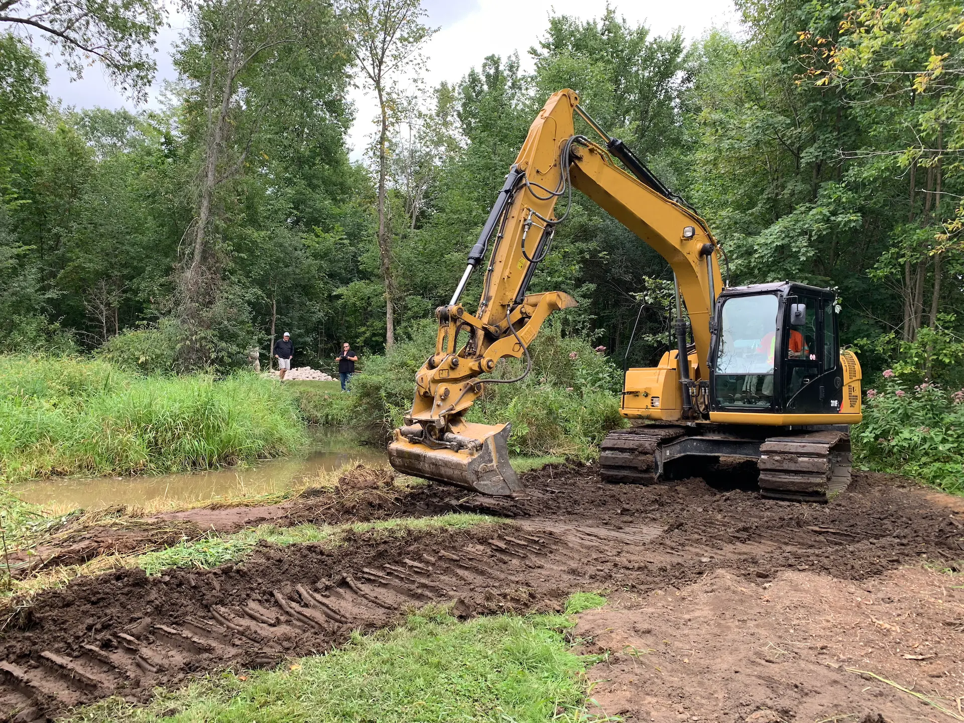
Projects that alter a property near any waterbody, wetland, steep slope or floodplain in the Rideau Valley require a permit under Ontario Regulation 41/24: Prohibited Activities, Exemptions and Permits (O. Reg 41/24).
The RVCA is mandated under Section 28 of the provincial Conservation Authorities Act to enforce this regulation through permitting and inspections. This ensures proposed developments minimize the natural hazards associated with development in floodplains and erosive areas, which could otherwise require expensive protective measures in the future or even put people and property in harm’s way.

If you are planning to do any of the following work near a lake, river, stream, floodplain, steep slope or wetland, you may require approval from the RVCA:
- construction, reconstruction, erection or placing of a building or structure of any kind
- changes that would alter the use or potential use of a building or structure
- increasing the size of the building or structure or increasing the number of dwelling units in the building or structure
- site grading
- the temporary or permanent placing, dumping or removal of any material, originating in the site or elsewhere
- straightening, changing or diverting or interfering with an existing channel of a river, creek, stream or watercourse, or changing or interfering with a wetland.
Not sure if your property is regulated? Use our mapping tool to check.
Planning & Permit Resources
Property File Search
A property inquiry/file search provides a formal written response to current property owners, potential buyers, lawyers, real estate professionals, etc with information including:
- Information and mapping on natural hazards and features such as floodplains, unstable slopes, shorelines, wetlands, etc.
- RVCA regulations and policies that apply to the property
- Information on previous approvals, outstanding orders and/or violations on the property
Complete the Property File Search Form to apply. A fee is charged to cover the cost of reviewing each individual site and a formal, written response is issued. Staff require at least two weeks to reply.
General Property Inquiry
Complete and submit our General Property Inquiry Form to receive a map showing the mapped hazard (floodplain, unstable slope, wetland) or natural feature, 1:100 year flood elevations if applicable and available, links to general information, regulators and policies. Please allow for 24 hour response time for General Property Inquiries.


