RVCA is one of 36 conservation authorities in Ontario responsible for furthering the "conservation, restoration, development and management of natural resources in the watershed" under the Conservation Authorities Act.
We are dedicated to protecting people and property from natural hazards like flooding and erosion, while conserving the wetlands, forests and natural areas that reduce their impacts.
Since 1966, RVCA has managed and cared for the Rideau River and its many tributaries in partnership with its member municipalities and the Province to protect the health of our watershed and all those who call it home.
Our Watershed
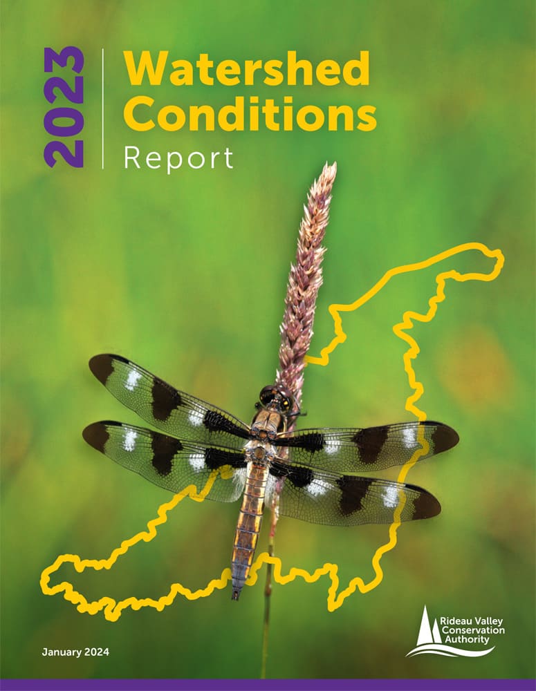
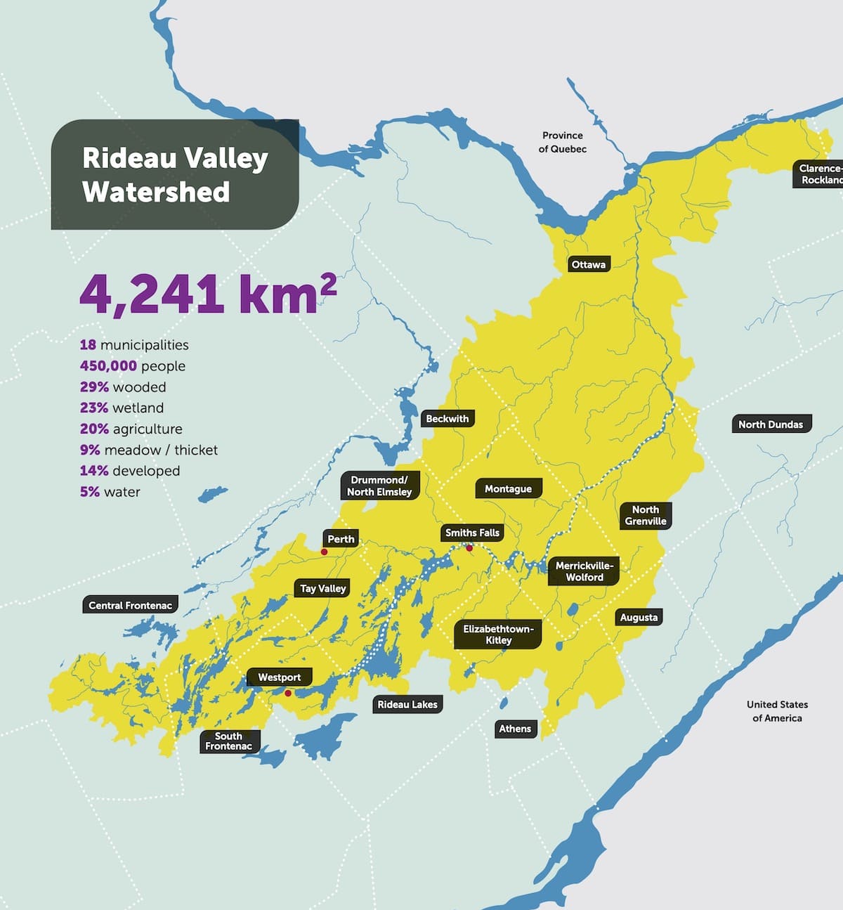
The Rideau River drains more than 4,000 square kilometres of waterways in Eastern Ontario. The main stem of the river flows north from Upper Rideau Lake near Newboro all the way to downtown Ottawa where it tumbles over Rideau Falls to join the mighty Ottawa River below. About 620,000 people live in the watershed, including a large part of the City of Ottawa. There are 18 municipalities within the watershed and most residents outside of Ottawa draw their drinking water from the river or from groundwater.
What We Do
- Development reviews and natural hazard regulations
- Septic approvals and inspections
- Flood forecasting and hazard mapping
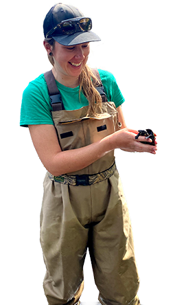
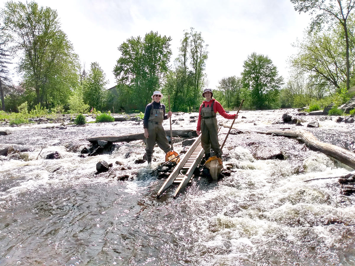
- Environmental monitoring and reporting
- On-the-ground restoration and stewardship
- Public conservation areas and land management
- Outdoor education programs
RVCA’s jurisdictional area includes
The Rideau River and its tributaries
The Tay River and its tributaries
Kemptville Creek and its tributaries
Jock River and its tributaries
Some outlets to the Ottawa River east and west of downtown Ottawa
