RVCA (1141)
Children categories

Department (66)
Main Office Phone Numbers : 613-692-3571 / 1-800-267-3504
Staff Directory
Drought Condition Downgraded to Minor
Learn More:
- Current Water Conditions Statements (flood or drought)
- Contact Brian Stratton, Manager Engineering Services
Streamflow and water level data are used to monitor flood and drought events. They are also used to monitor water supply for lake operation and navigation. This information is used to determine flood risk, support land use planning, assess fish habitat and for water quality analyses of contaminant loading.
DISCLAIMER: Users of the RVCA flow data and water level data are cautioned to consider the unverified nature of the information before using it for decisions that concern personal or public safety or the conduct of business. The Rideau Valley Conservation Authority assumes no responsibility for the correctness of the information contained in this website nor liability to any user of such information, regardless of the purpose. River Levels and flows can change rapidly.
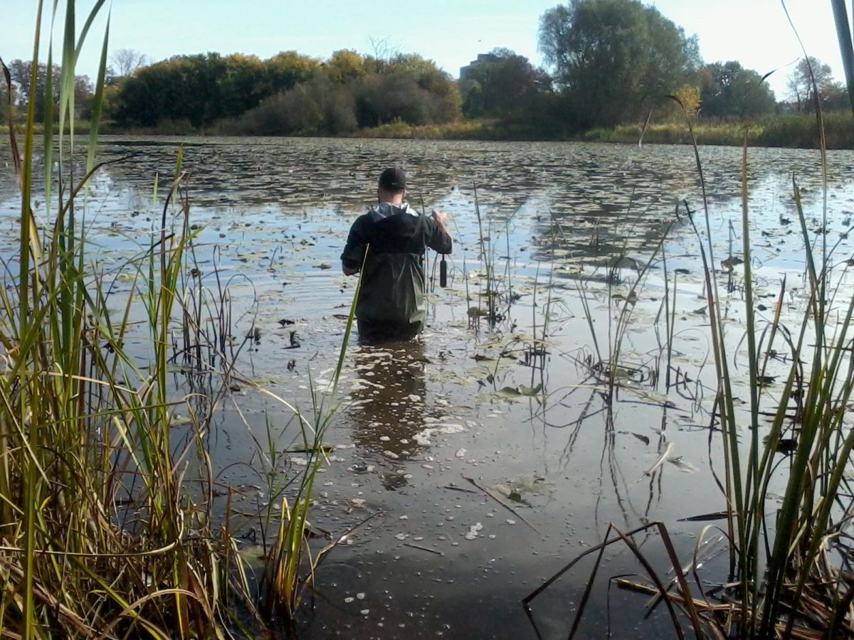
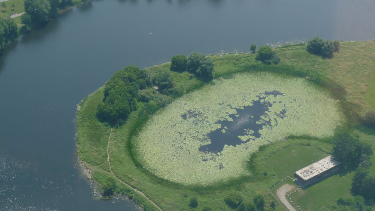
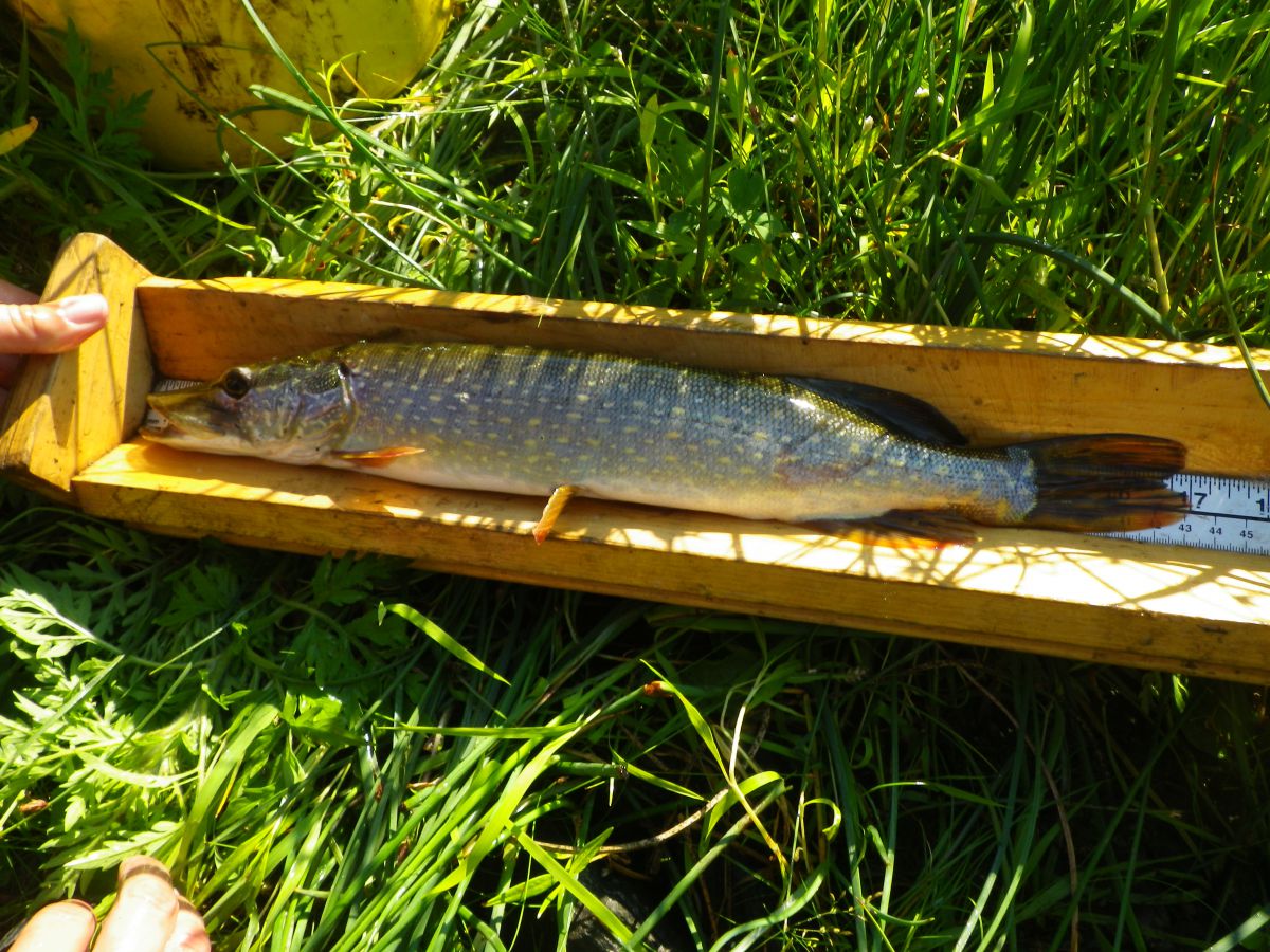
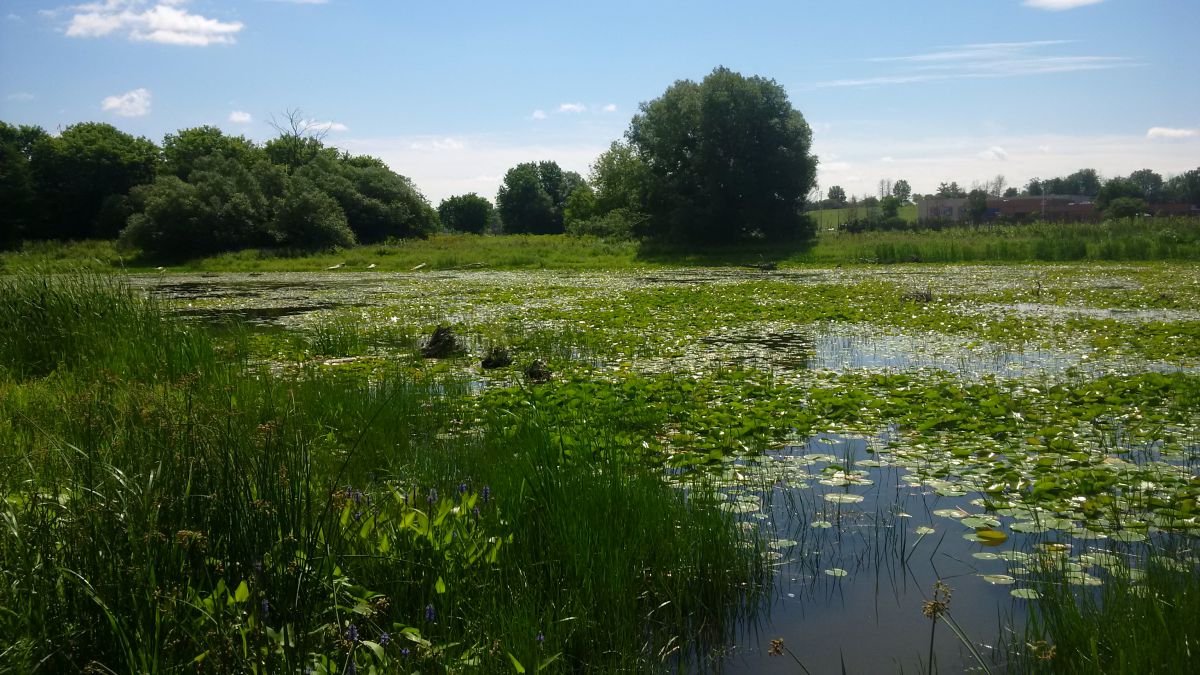
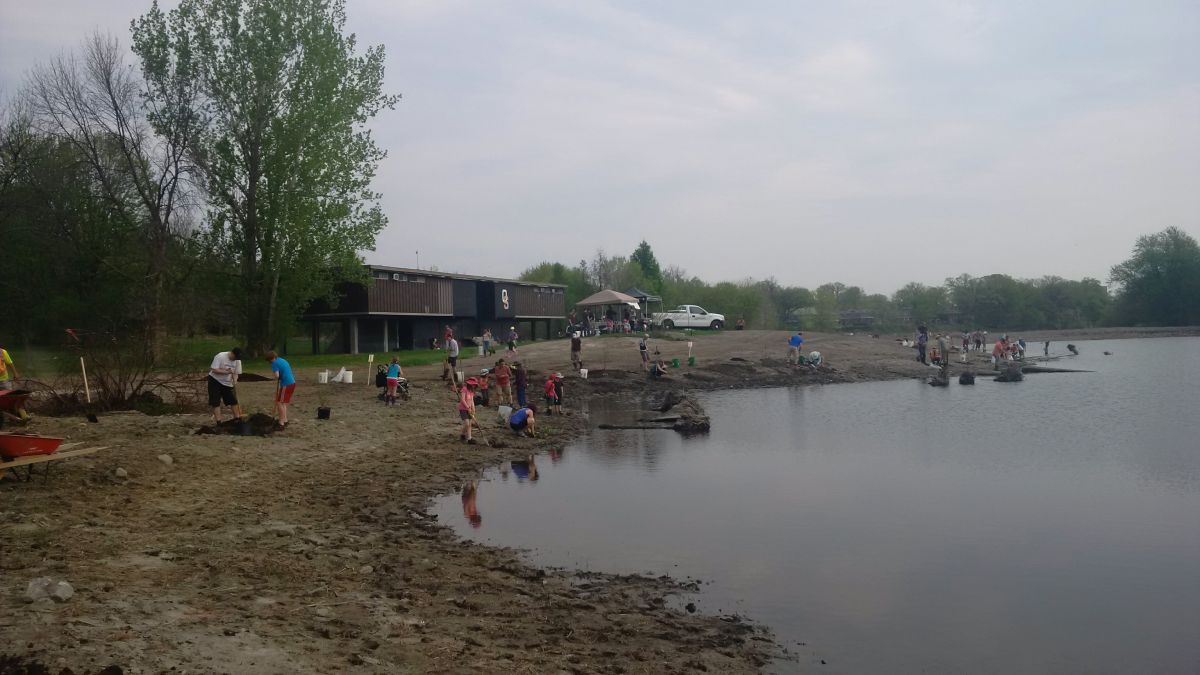
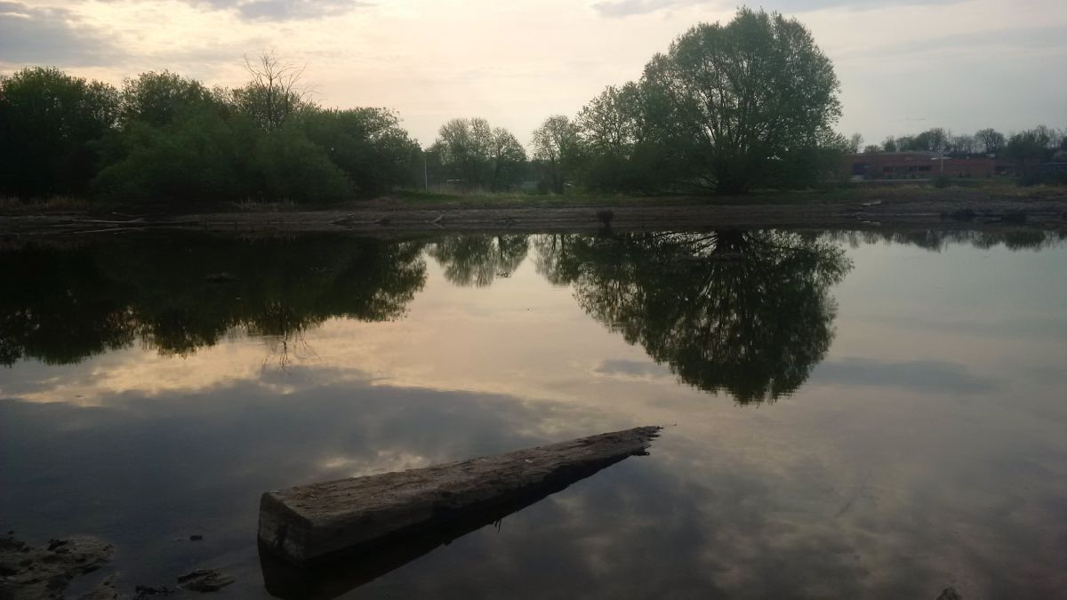
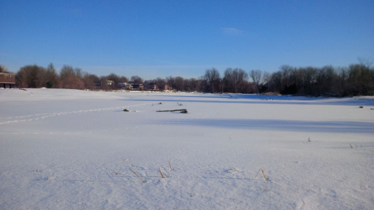
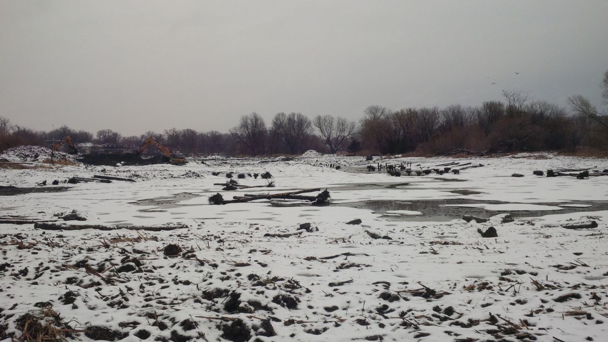
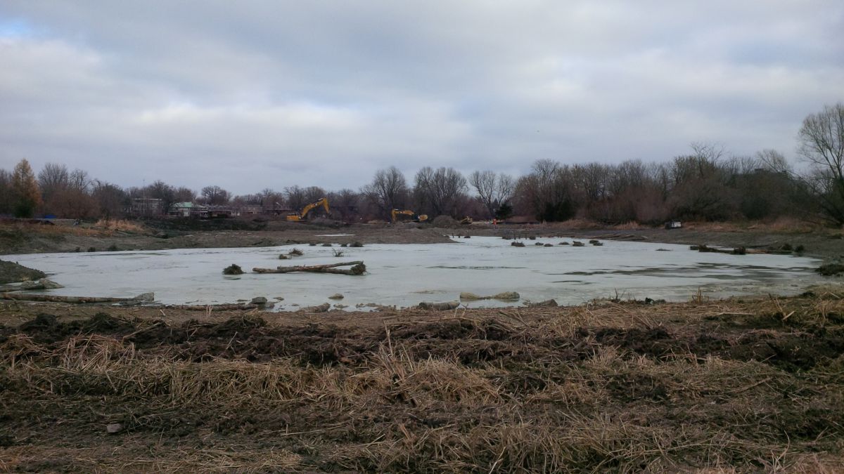
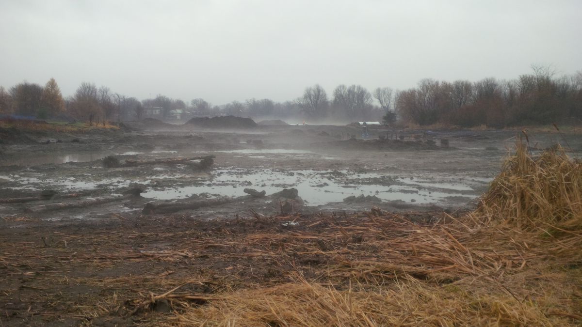
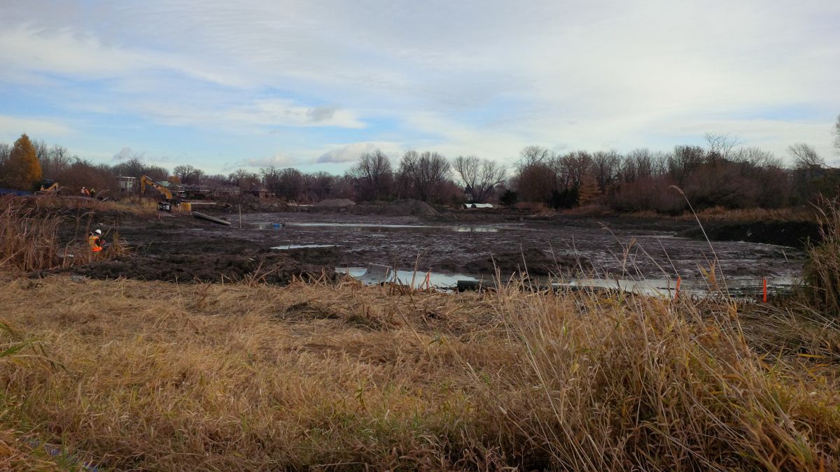
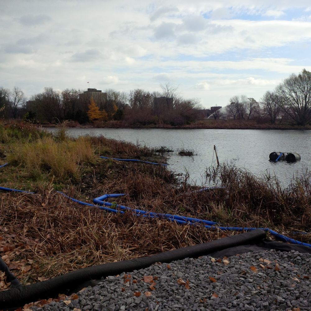
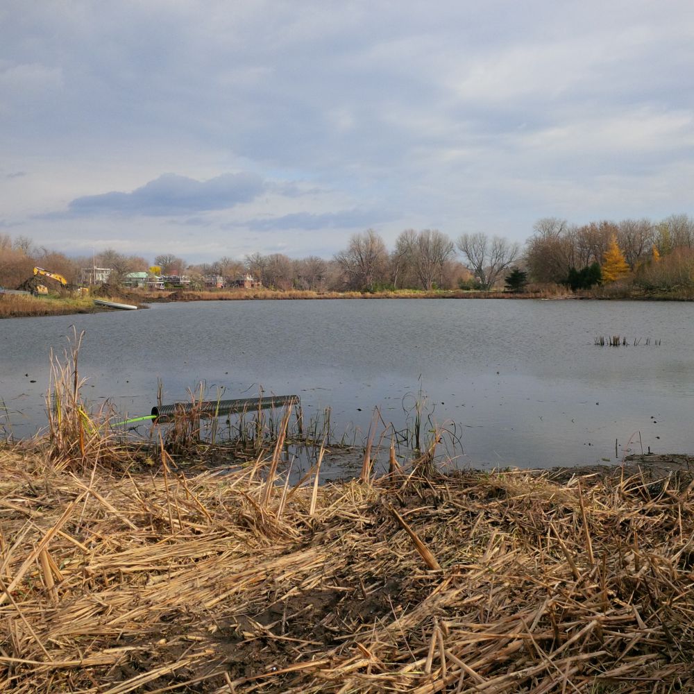
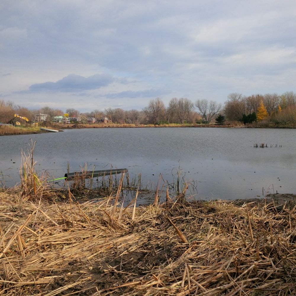
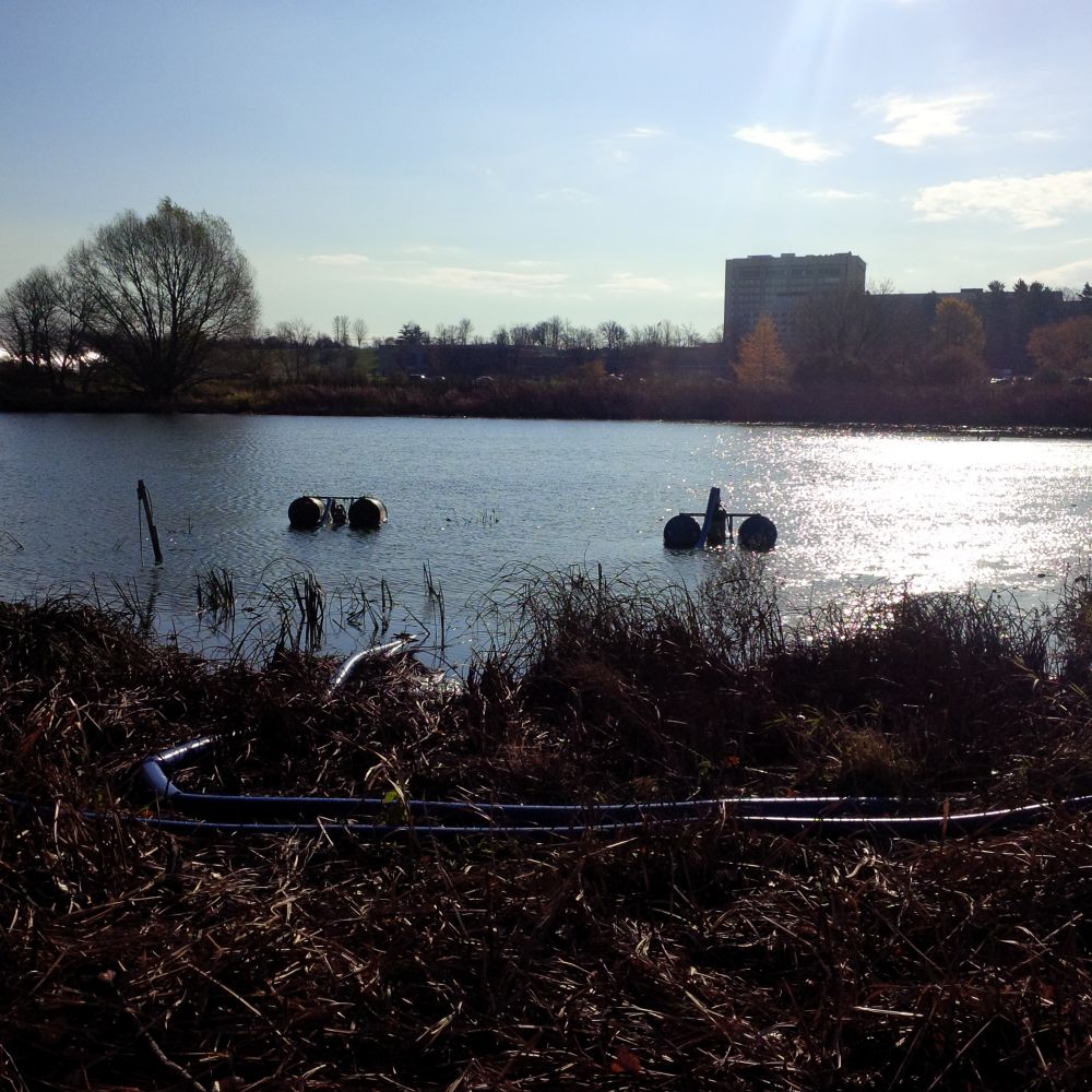
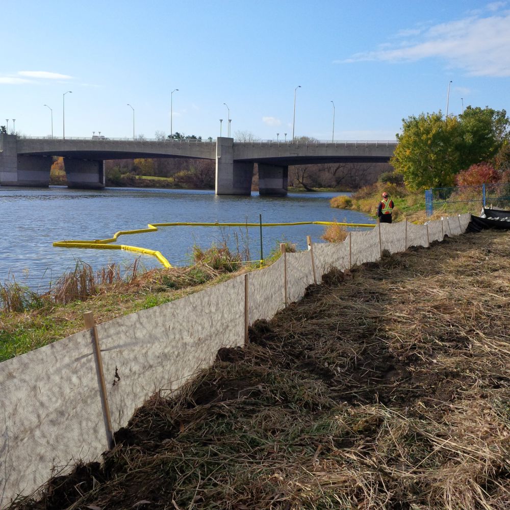
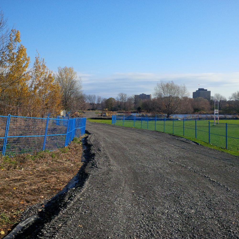
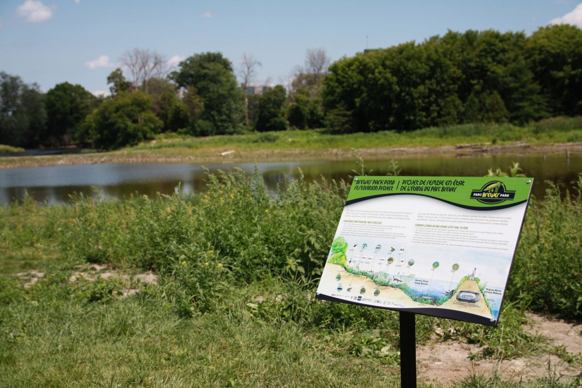
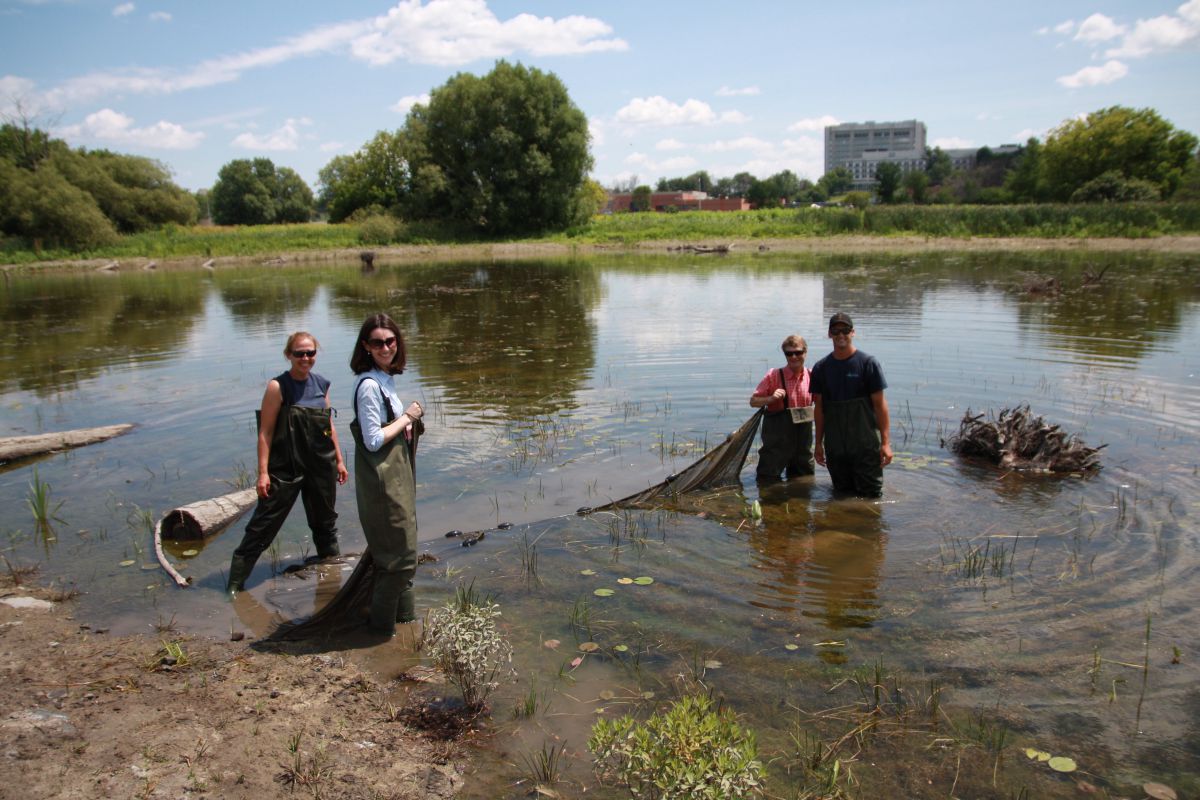
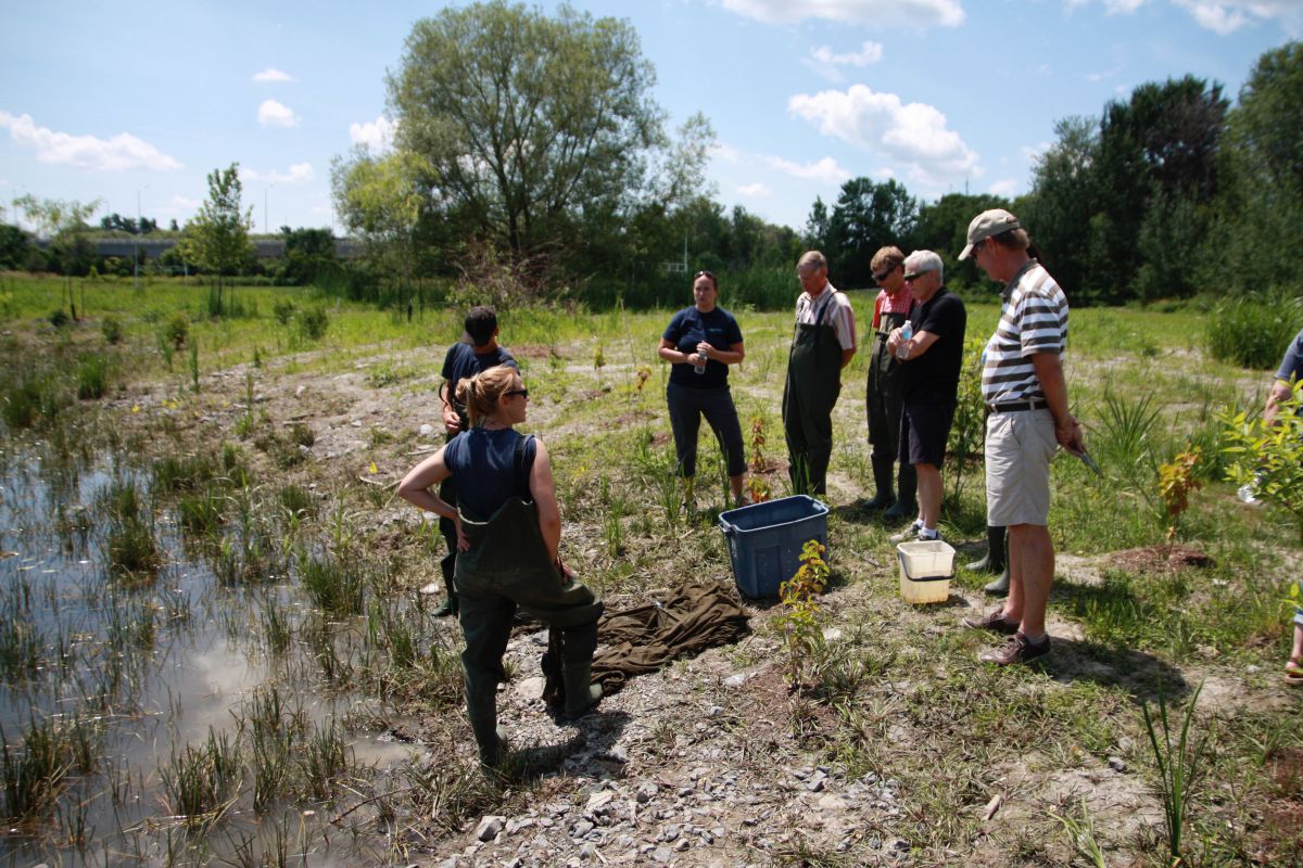
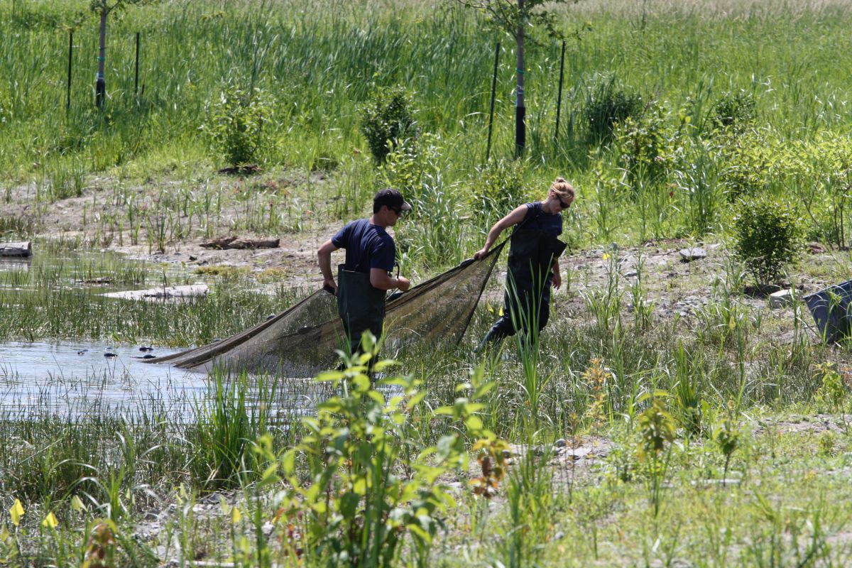
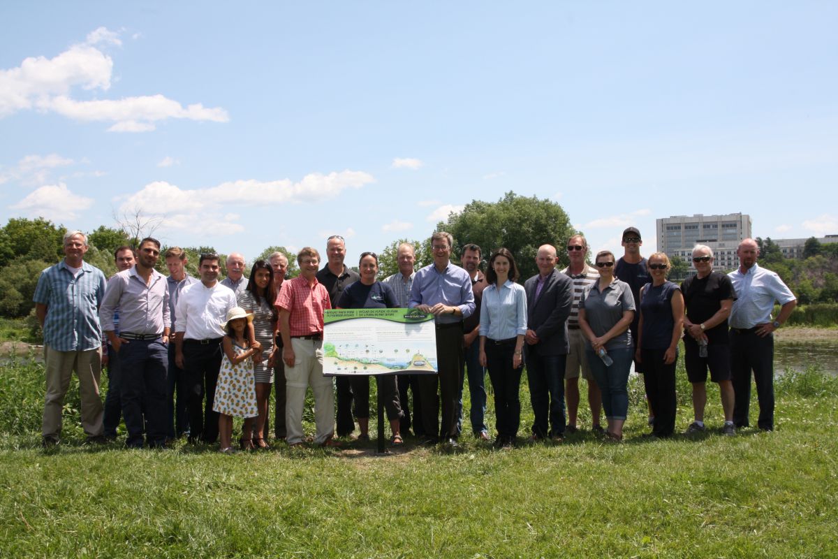
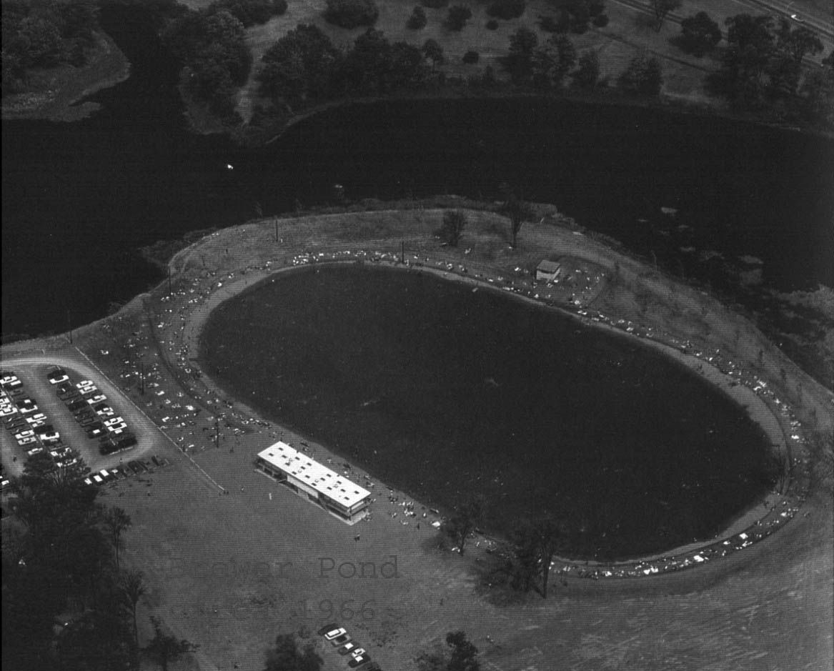
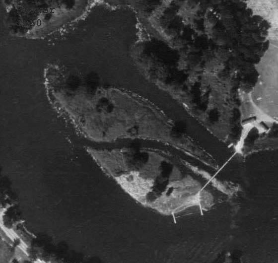
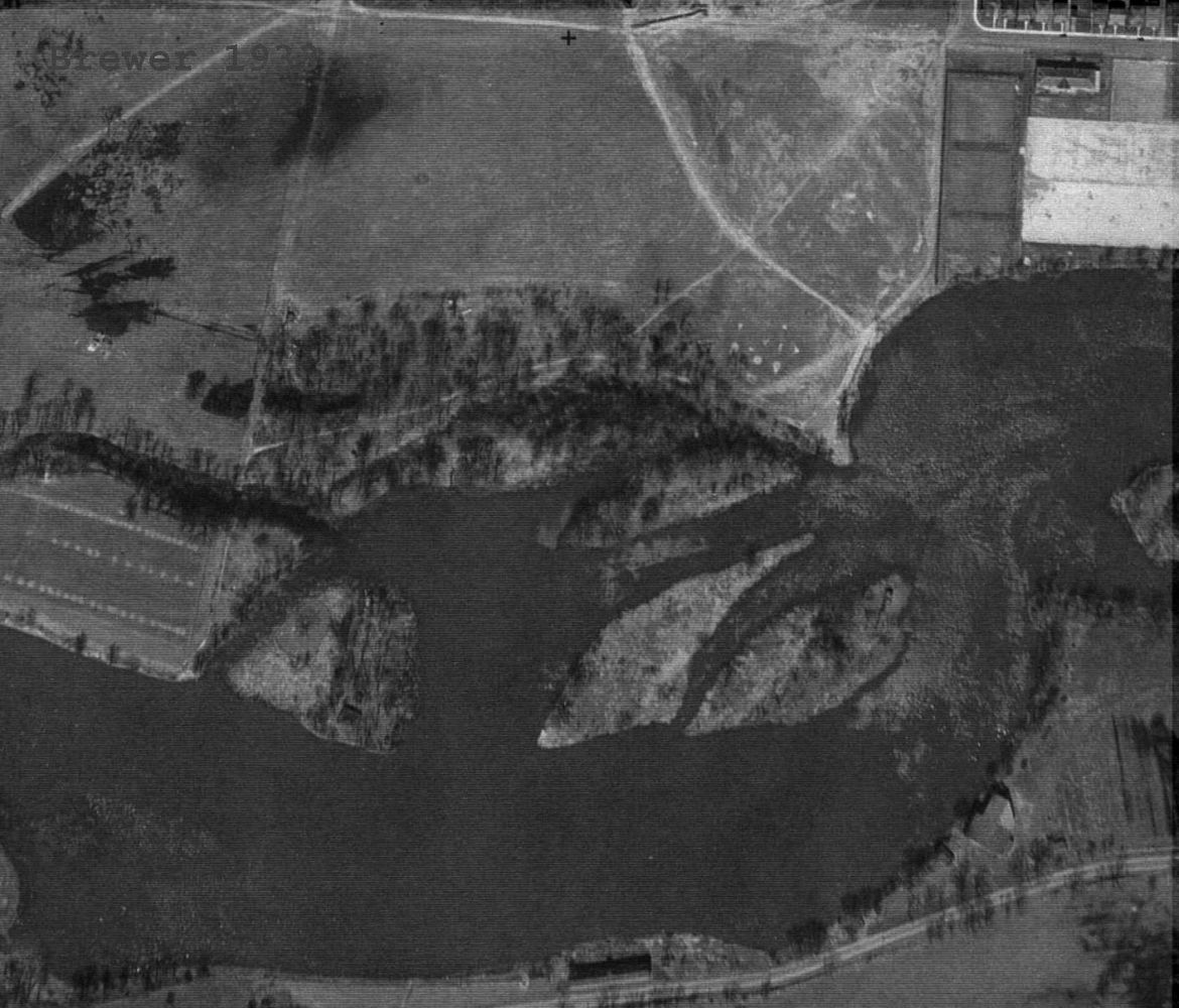
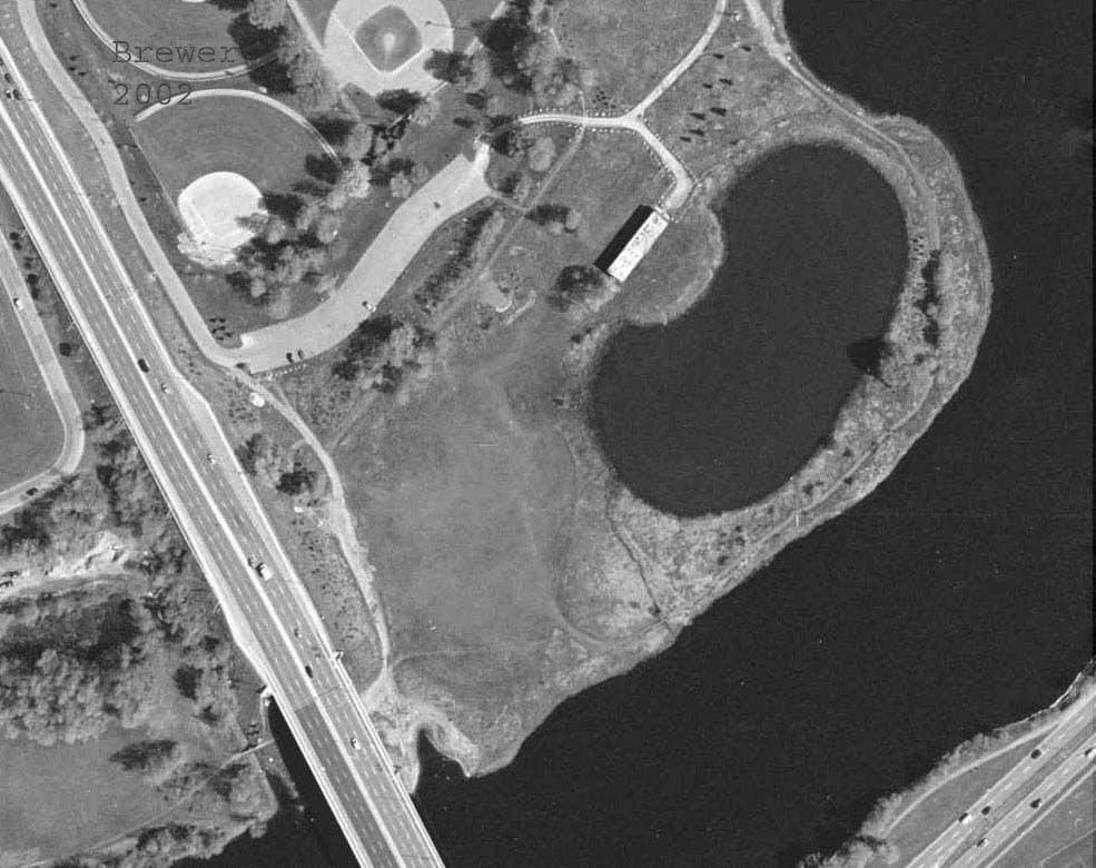
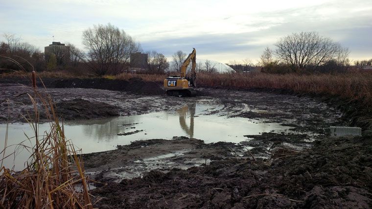
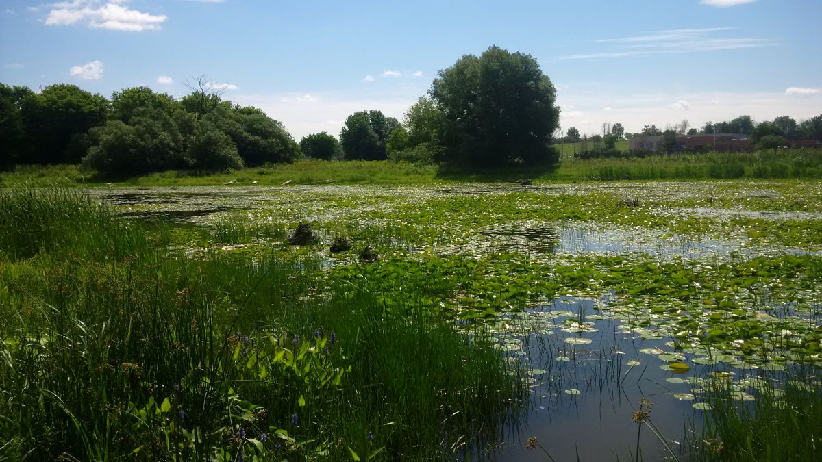
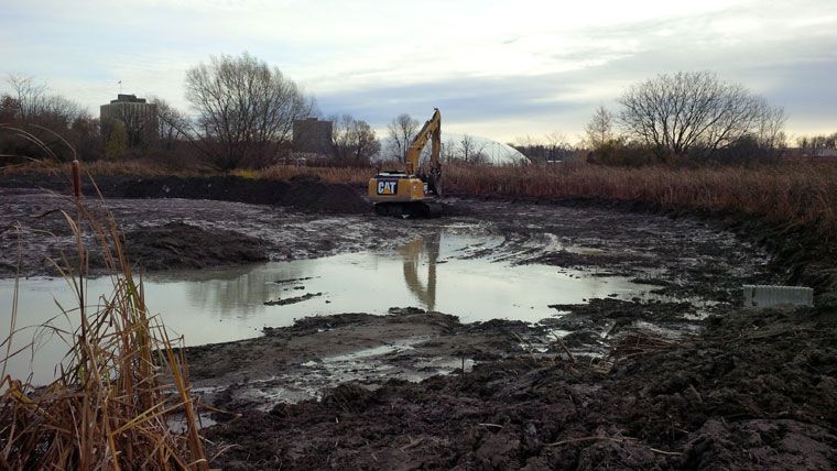
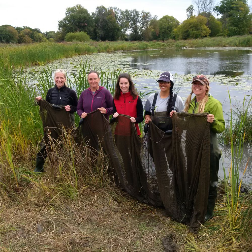
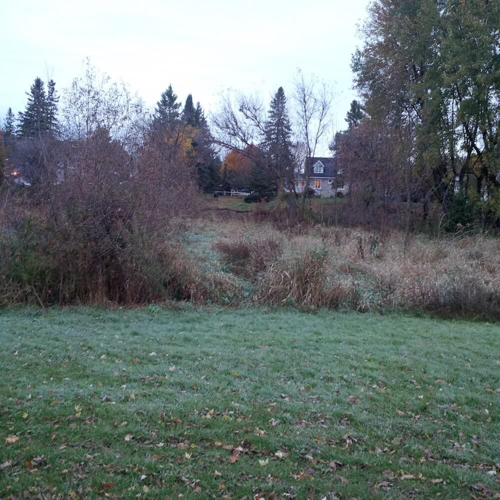
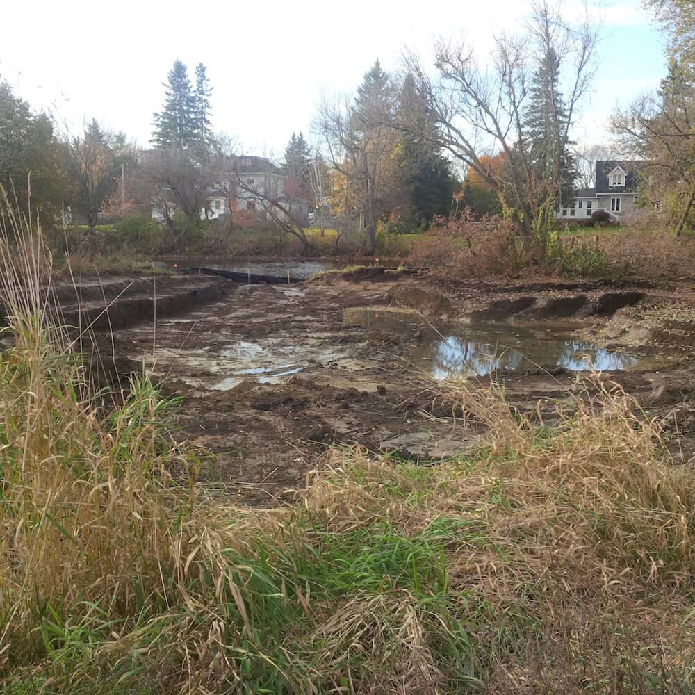
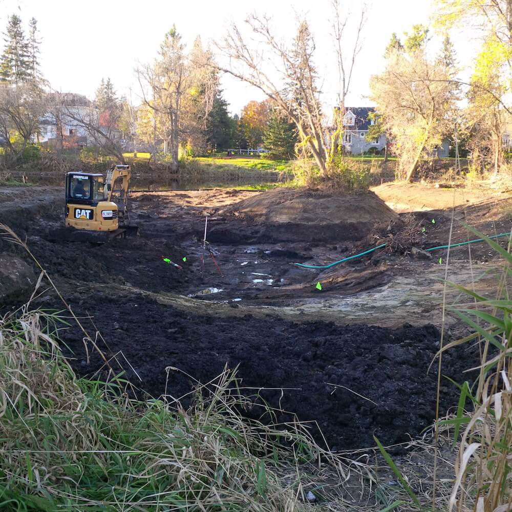
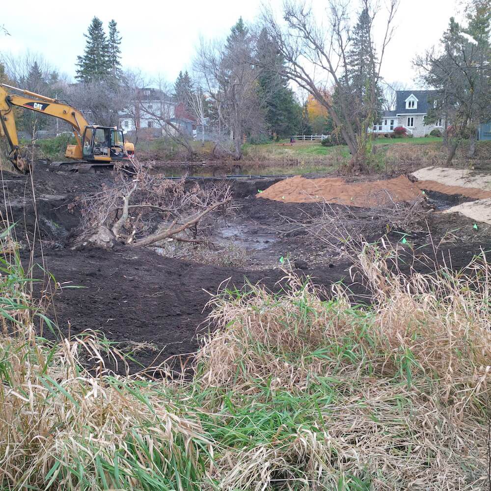
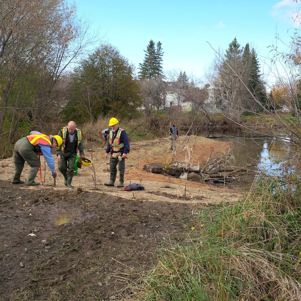
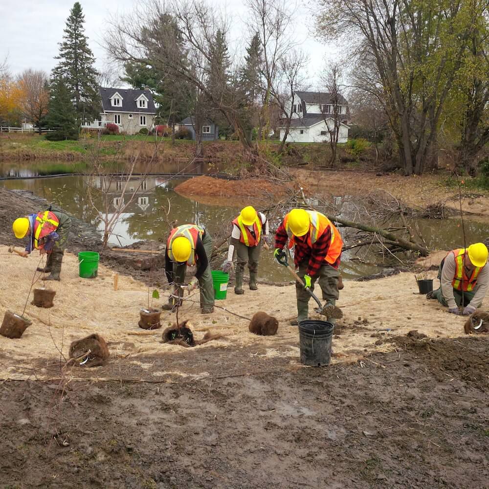
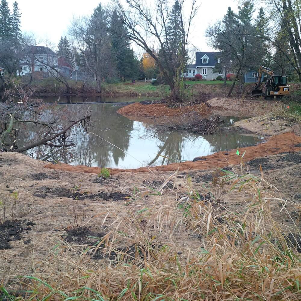
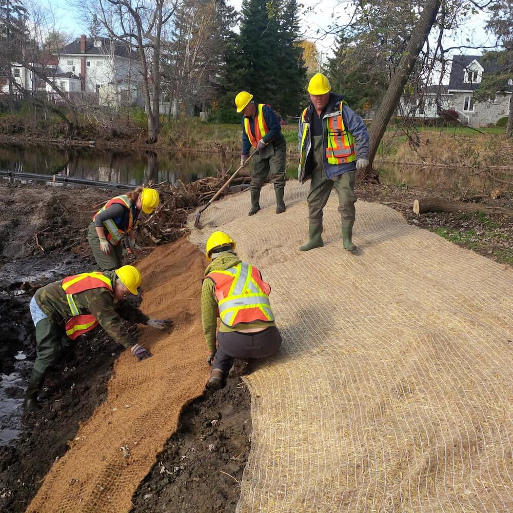
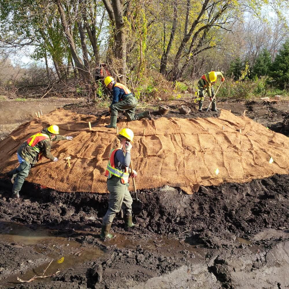
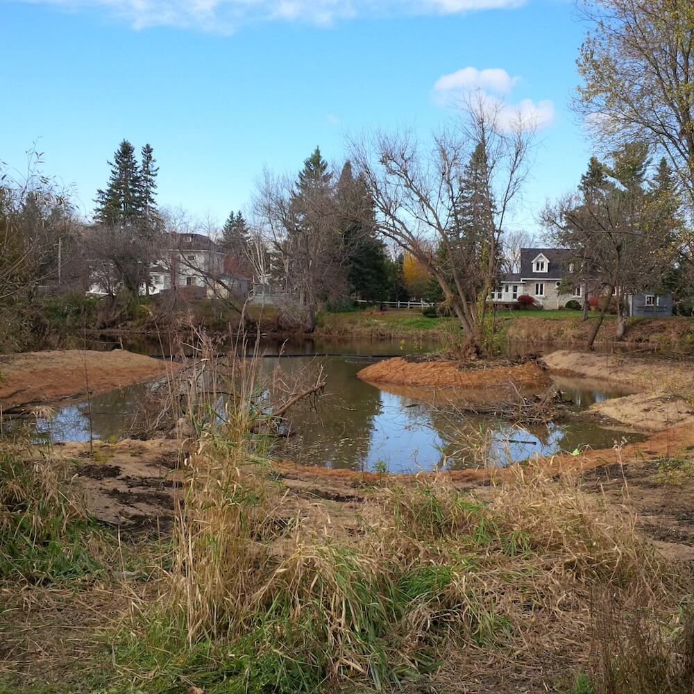
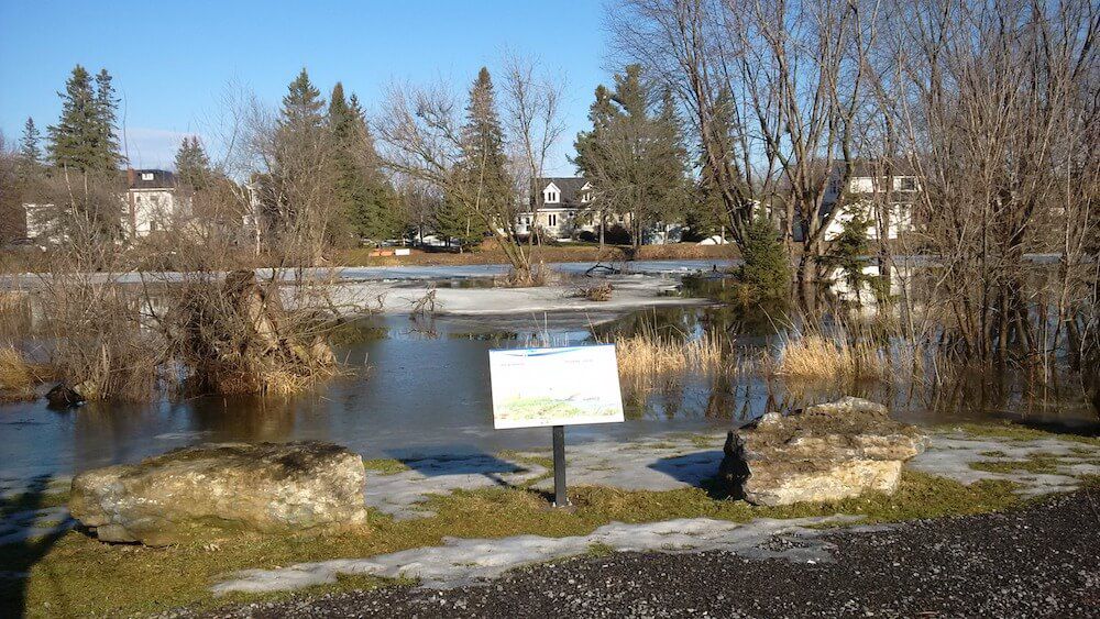
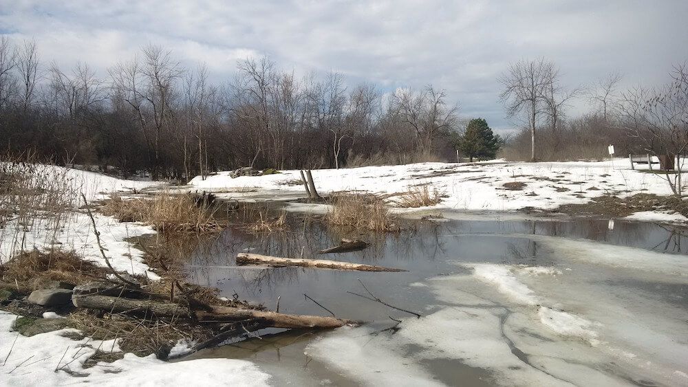
From October to December 2014 the landlocked Brewer Park Pond and former artificial swimming hole was reconnected to the main channel of the Rideau River. The newly connected pond boasts increased biodiversity with the creation of a new, vibrant wetland and pond with shoreline plantings, breeding bird habitat, amphibian habitat, turtle nesting beds and basking logs. The pond will provide improved spawning, nursery, rearing and feeding habitat for the local fish community in the Rideau all year round. This part of the Rideau River is home smallmouth bass, largemouth bass, yellow perch, northern pike, walleye and muskellunge.
Project Highlights:
- 16,000 square metres of new, functioning wetland and fish habitat in the heart of the City of Ottawa
- 1,000 truckloads of soil removed to contour pond into more productive habitat
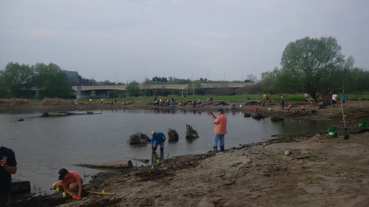
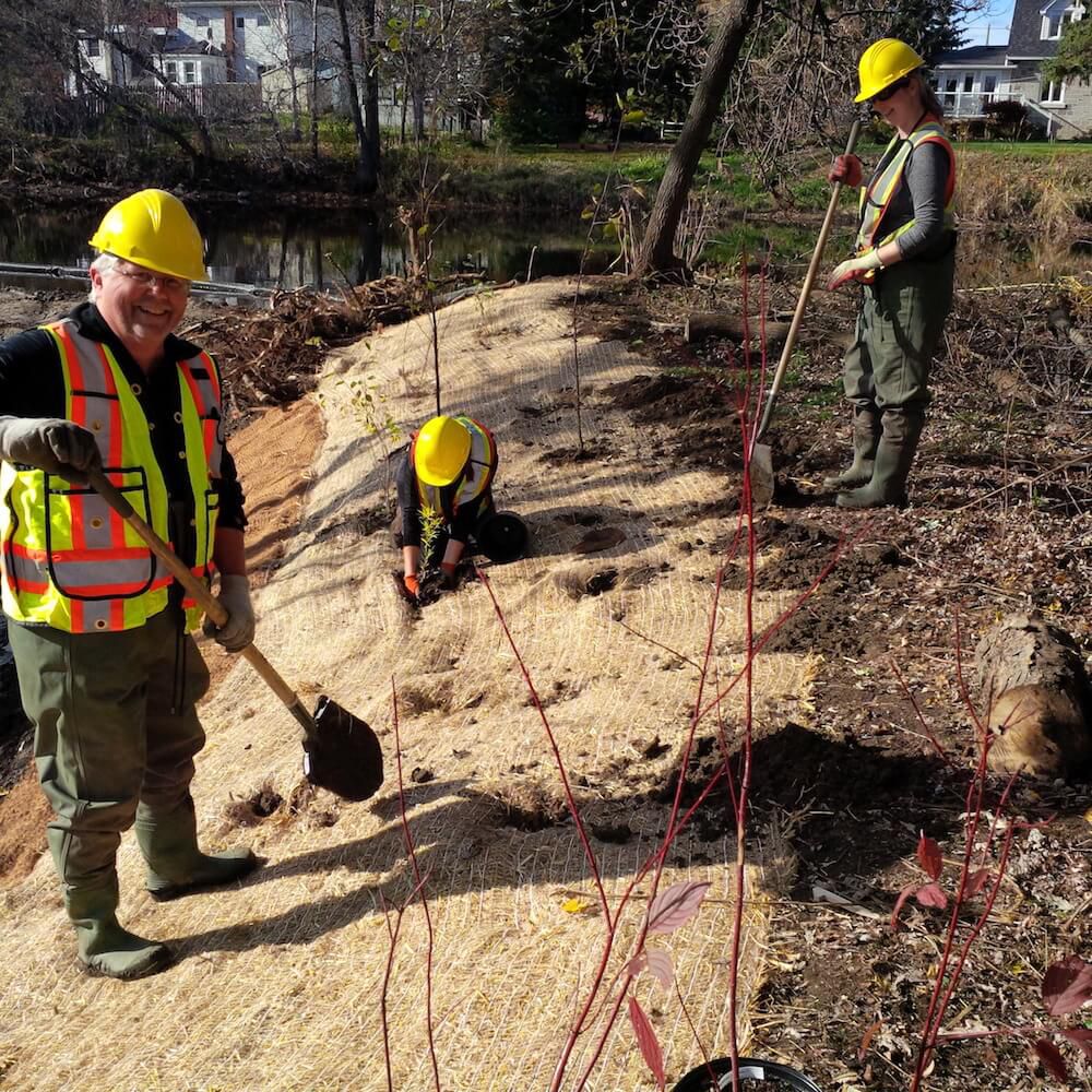
- 120 community volunteers helped plant over 1,600 trees, shrubs and aquatic plants in and around the pond
- 8 weeks of construction from October to December 2014
- Numerous basking logs, root wads and log piles installed as habitat for turtles, fish, amphibians
Ecological benefits:
- Reconnected pond allows fish species year-round access in and out of the pond into the main river
- Eliminates the potential for fish kills as a result of low oxygen conditions in the pond over winter and summer months
- Altered elevations creates conditions suitable for more diverse aquatic vegetation
- New functional spawning, nursery, rearing and food supply habitat created in the restored wetland for fish in the adjacent reach of the Rideau River
- Provides new and enhanced winter and summer refuge areas for fish
- Increased biodiversity.
- Enhanced wetland improves water quality in the Rideau River
Project Partners
- Fisheries and Oceans Canada
- Fish Biology & Conservation Physiology Lab
- Carleton University
- Minto
- Muskies Canada
- MNRF
- City of Ottawa
- Ottawa South Community Association
- Richcraft
Information
Jennifer Lamoureux
Aquatic and Fish Habitat Biologist,
Rideau Valley Conservation Authority
613-692-3571 ext. 1108
If you live on a lake and are interested in recording water levels (weekly or every two weeks) and feel you have a good location for a staff gauge to be placed (permanent dock, flat rock etc..) then we would appreciate your help in our monitoring levels on watershed lakes.
For more information, please contact:
Justin Robert
Hydrometric Data Coordinator
Department of Engineering and Regulation
Ext. 1194
2016 Deadlines
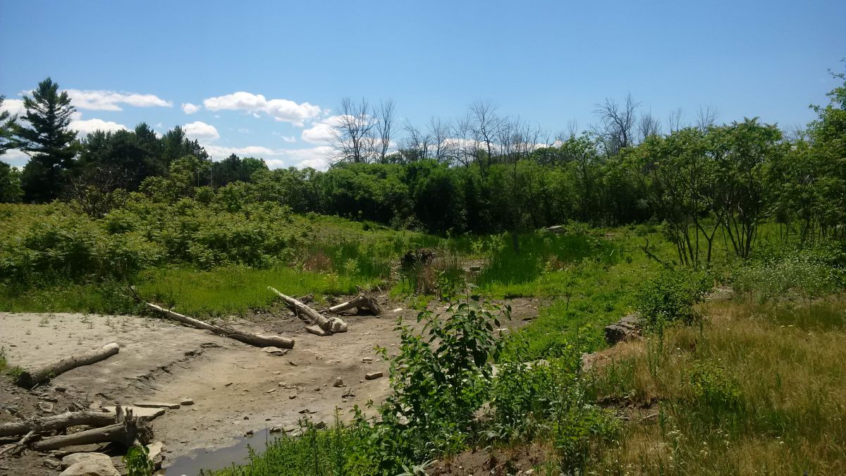
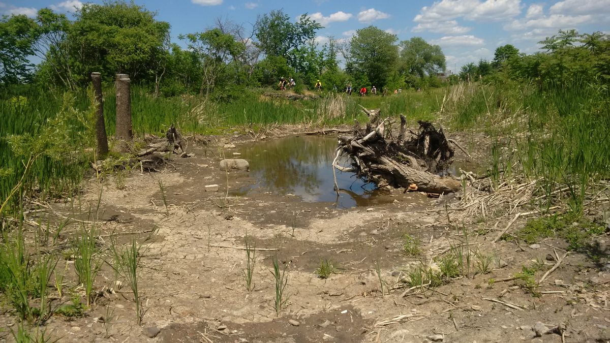
The Rideau Valley Conservation Authority (RVCA) partnered with the National Capital Commission (NCC) to design and construct a small wetland adjacent to the Ottawa River. This new wetland is located close to Remic Rapids along the Sir John A. Macdonald Parkway. The feature is 0.15 hectares and consists of a shallow basin that is a water supply for wildlife as well as amphibian breeding and bird foraging area. Volunteers and NGO community groups provided clean up and planting assistance. The wetland provides a unique and highly visible habitat feature along the National Capital Commission Ottawa River Pathway.
Benefits of the Project
- Altered elevations creates areas for more diverse aquatic and terrestrial plant life
- Provides new and enhanced habitat for wetland wildlife
- Provides quiet area for water fowl and shorebird nesting, rearing and feeding
- Installed woody structures creates more diverse habitat
- Installed sand and pea stone creates turtle nesting and basking areas
- Common buckthorn (invasive species) removal allowed for more native plant growth
Project Partners

Information
Jennifer Lamoureux
Aquatic and Fish Habitat Biologist,
Rideau Valley Conservation Authority
613-692-3571 ext. 1108
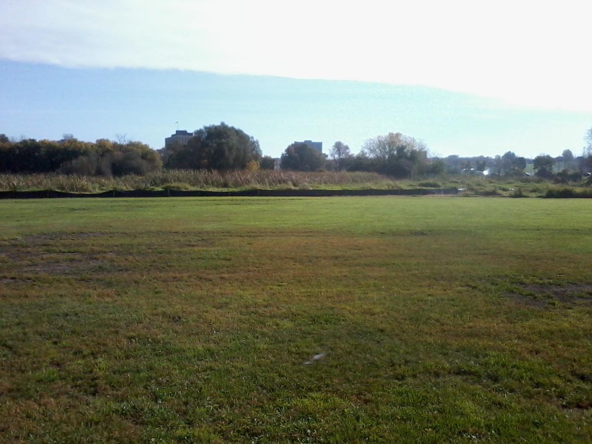
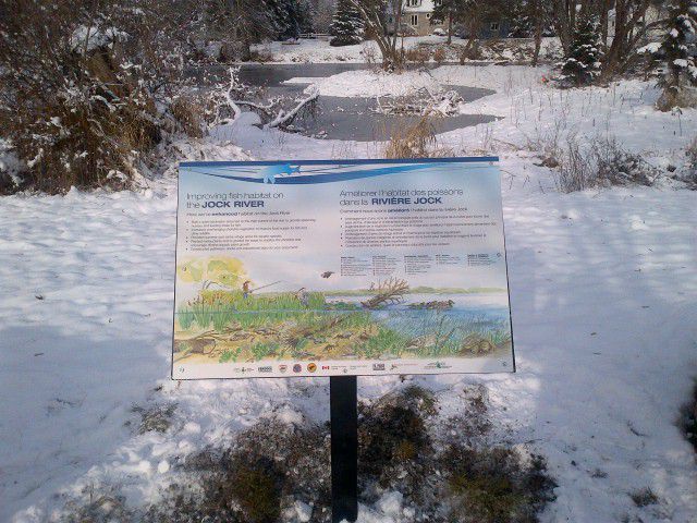
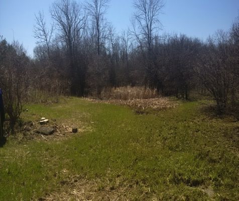
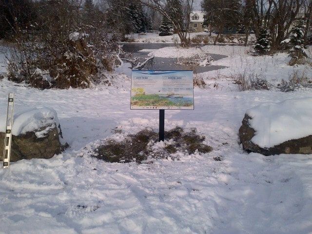
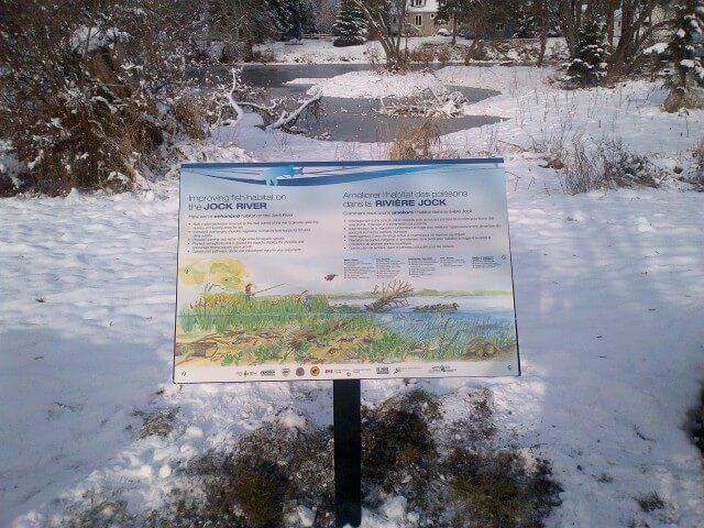
The Rideau Valley Conservation Authority, with their partners, has built a fish habitat embayment at the Richmond Conservation Area, located in Ottawa, Ontario. The project involved converting an existing grassed park area into a small wetland embayment along the shore of the Jock River. Raab Construction helped construct the wetland with the assistance of many dedicated volunteers.
Construction Highlights
- 1,000 square metres of new spawning, nursery, rearing and feeding habitat created to support the 40 species of fish that reside in the Jock River
- 9 days of construction took place in October 2014
- 108 truckloads of fill were removed from the Jock River floodplain
- 100 metres of new shoreline created by re-grading the existing slope and planting a shoreline buffer around the perimeter of the new embayment
In 2014, the Jock River Embayment Creation Project won the Top Canadian Fishing Industry Conservation Project Award.
Project Partners
- Rideau Valley Conservation Authority
- Fisheries and Oceans Canada — Recreational Fisheries Conservation Partnerships Program
- Muskies Canada Ottawa Chapter
- National Defence Fish and Game Club
- Community Foundation of Ottawa
- Ottawa Fly Fishers Society
- Shell Fueling Change
- Fendock
Information
Jennifer Lamoureux
Aquatic and Fish Habitat Biologist,
Rideau Valley Conservation Authority
613-692-3571 ext. 1108
RVCA Celebrates 50 Years of Conservation
More...
Every shoreline is unique and requires different approaches to naturalization. Current and desired land use, existing conditions, soil type, availability of sunlight and moisture, and naturalization goals all play a significant role in selecting the appropriate naturalization methods. Some methods may include:
- Creating a “no-mow” zone near the shoreline and allowing vegetation to re-establish on its own.
- Active planting of native trees, shrubs, grasses, wildflowers and/or aquatic plants in the buffer area.
- Placing or allowing the accumulation of woody debris along shoreline.
- Removal or “softening” of existing hard structures like retaining walls, gabion baskets and rip rap.
- Utilizing various bioengineering methods such as coir logs, live cuttings, and brush mattresses to control or reduce erosion.


