monitoring_1.jpeg
rvca-slide_01.jpg
rvca-slide_02.jpg
rvca-slide_03.jpg
rvca-slide_04.jpg
rvca-slide_05.jpg
rvca-slide_06.jpg
rvca-slide_07.jpg
rvca-slide_08.jpg
rvca-slide_09.jpg
rvca-slide_10.jpg
rvca-slide_11.jpg
rvca-slide_12.jpg
With access ways to the waterfront properties on the Long Reach of the Rideau River (Kars to Burritts Rapids) again passable, the Flood Warning, in place for the last week, is now reduced to Flood Watch.  Rain forecast for Saturday evening into Sunday is expected to cause an upturn in flows in the Rideau system. However, flows are expected to have receded sufficiently by then that the increase will have a minor impact. The expectation is that flows, as measured at the recording station at Carleton University, will increase to about 280 cubic metres per second (cms) by early Monday.…
April 12, 2017

Water Quality Mapping Tool

Diane Downey

Access water chemistry results by searching your area of interest or zooming into an area and selecting a sampling site. 


Eric Lalande

Additional Info

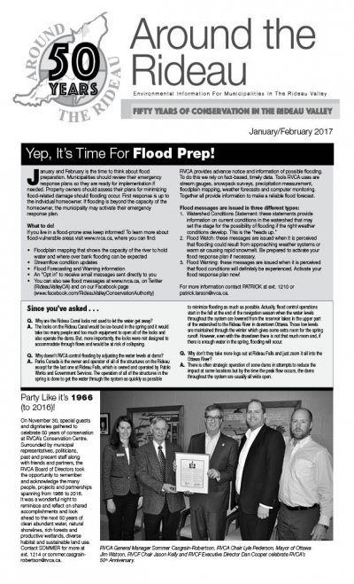
ATR - January-February 2017

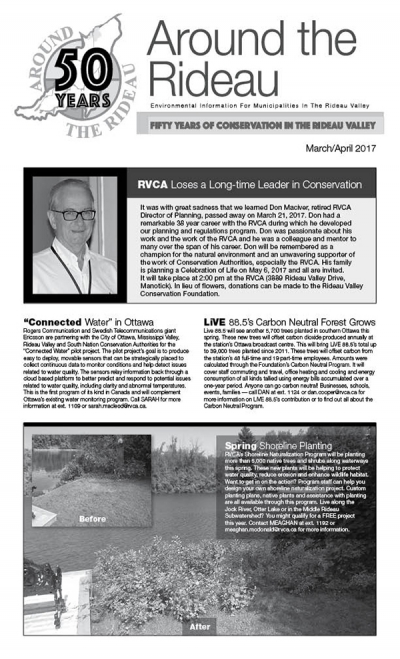
ATR - March-April 2017

Water levels have been dropping throughout the Rideau watershed since Saturday but not all flooded areas are fully dry yet. Water levels have dropped about 22 centimetres since the Saturday peak on the Long Reach between Burritts Rapids and Manotick. Another 34 centimetres are left to go on Hilly Lane and similar amounts on the neighbouring waterfront communities near Kemptville. Until those communities have safe access restored, the Flood Warning will remain in effect. The decline in levels in the Long Reach will be slowed by rain forecast for tomorrow and by water that has to be released from Big…
Runoff from the rain event on Thursday is working its way through the system leaving several waterfront communities still without access to their properties. Water levels have been holding more or less steady for the last few hours. A definite peak has not yet been reached but can be expected today. Cooler temperatures overnight have slowed the runoff process. Temperatures of over 10 degrees forecast for today will cause much of the remaining snow and ice to melt and run off today which will keep levels up for the short term. Once a definite decline of levels begins, Parks Canada…
Heavy rain on Thursday has caused streamflows and lake levels to increase significantly in the Rideau River watershed. The amount of rain that fell in eastern Ontario wasn’t quite as much as forecast but it is certainly having an impact. Such water levels were last reached in 2014. The worst impact is in North Grenville and rural Ottawa near the confluence of Kemptville Creek with the Rideau River. Some street and pathway flooding is occurring in Ottawa South adjacent to and in Windsor Park and in Ottawa East in Brantwood Park. No residential flooding in urban Ottawa has been reported…
Rain presently falling is causing flows in the Rideau River to increase toward thresholds at which flooding can be expected to cause access issues to lower lying waterfront properties. The area first affected will be the Long Reach of the Rideau between Kars and Kemptville. In particular, access to Hilly Lane, Cedar Beach, Rideau Glen and other neighbourhoods on that reach of the river can be expected to be compromised as the rain enters the system today. Rain forecast in the order of fifty-five millimetres (mm) on Thursday and Friday can be expected to be followed by a peak on…

Brassils Creek - 2016 Summary Report

Page 56 of 82

Contact Us

Address:
Rideau Valley Conservation Authority
3889 Rideau Valley Drive
Manotick, Ontario K4M 1A5

Phone:
613-692-3571, 1-800-267-3504

Email:

Hours:

Regular Hours: Monday to Friday, 8:30 a.m. to 4:30 p.m.

Member of: conservation ontario