monitoring_1.jpeg
rvca-slide_01.jpg
rvca-slide_02.jpg
rvca-slide_03.jpg
rvca-slide_04.jpg
rvca-slide_05.jpg
rvca-slide_06.jpg
rvca-slide_07.jpg
rvca-slide_08.jpg
rvca-slide_09.jpg
rvca-slide_10.jpg
rvca-slide_11.jpg
rvca-slide_12.jpg
January 18, 2018 – Temperatures around the freezing point through the weekend and rain early next week will once again cause the loss of much of the snow cover and unstable ice conditions in the Rideau Valley. As the snowmelt and rain runoff moves through the Rideau system, the ice cover will be shifting and, in some places, breaking up. Water can be expected to pond on top of the ice. Going on ice covered water bodies is not advisable for the next several days. Slightly more snow on the ground in the upper watershed west of Smiths Falls and more…
January 12, 2018 –  With unusually warm temperatures melting much of the snow cover, water levels are rising throughout the Rideau watershed bringing on unstable ice conditions. Levels can be expected to continue to rise through the day until a forecast rapid freeze occurs mid-afternoon. In faster flowing stream sections, ice has broken up and been moved downstream and there is the potential for ice jamming that could cause localized high water situations. On lakes and flat stream sections, the ice will have been lifted by the increased water levels and have meltwater ponded on the surface. As temperatures drop,…
January 08, 2018

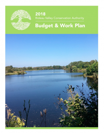
2018 Budget & Work Plan

The Rideau Valley Conservation Authority 2018 Budget & Work Plan is now available. Click here to view it or find it under Annual Work Plans in the Publications section of the website.

2018 Budget and Work Plan

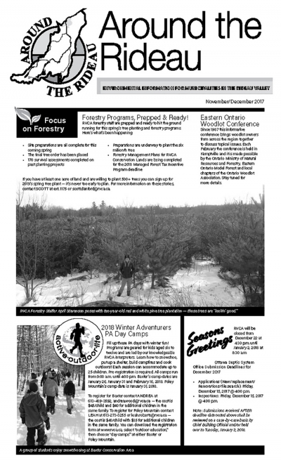
ATR - November-December 2017

November 3, 2017 –  Rain forecast for Sunday could raise water levels again. In the order of 25 to 30 millimetres of rain fell on the Rideau watershed yesterday and this morning, less than was forecast. The rain was not enough to raise water levels significantly. Rain now forecast for Sunday has the potential to be enough to raise the already elevated flows. Ministry of Natural Resources and Forestry meteorologists have forecast 10 to 25 mm of rain on Sunday which could increase to a total of 40 to 75 mm if thunderstorms occur on Sunday night. The result could…
  November 3, 2017 –  Rain forecast for Sunday could raise water levels again. In the order of 25 to 30 millimetres of rain fell on the Rideau watershed yesterday and this morning, less than was forecast. The rain was not enough to raise water levels significantly. Rain now forecast for Sunday has the potential to be enough to raise the already elevated flows. Ministry of Natural Resources and Forestry meteorologists have forecast 10 to 25 mm of rain on Sunday which could increase to a total of 40 to 75 mm if thunderstorms occur on Sunday night. The result…


Water levels that were already high from rain on Sunday and Monday are expected to increase again if rain forecast for Thursday and Friday falls on the Rideau River watershed.  

About 12 millimetres (mm) of rain fell overnight and as much as 40 mm more is expected. This could cause flows in the Rideau below Mooneys Bay to increase to about 320 cubic metres per second. While not an issue in the lower sections of the system, such flows typically mean flooding of low-lying areas on the Long Reach, the section of the river between Manotick and Burritts Rapids, with the access roads to the river side communities at risk.

High flows on the Tay River in Perth continue with most of the flow directed through the Little Tay which has caused flooding in Stewart Park. The construction site at Haggart Island Dam is being monitored closely.

The forecast rain can be expected to cause increased flows in the smaller streams such as Steven Creek. Residents in North Gower can once again expect to see the banks close to full through to next week.

Residents are advised to stay away from rivers as the forecasted weather may rapidly increase river flows, and cause slippery river banks.  Parents are encouraged to explain these dangers to their children.

For water level and flow information in the Rideau system as well as the Ottawa River, visit the RVCA Streamflows and Water Levels webpage at: https://www.rvca.ca/watershed-monitoring-reporting/monitoring/surface-water-quantitiy

For more information about conditions on the Ottawa River, check the webpage of the Ottawa River Regulation Planning Board at http://ottawariver.ca/river-levels-flows.php#river-levels-flows-7-days .


(WCS - 41/2017)


Water levels that were already high from rain on Sunday and Monday are expected to increase again if rain forecast for Thursday and Friday falls on the Rideau River watershed.   About 12 millimetres (mm) of rain fell overnight and as much as 40 mm more is expected. This could cause flows in the Rideau below Mooneys Bay to increase to about 320 cubic metres per second. While not an issue in the lower sections of the system, such flows typically mean flooding of low-lying areas on the Long Reach, the section of the river between Manotick and Burritts Rapids,…
Page 46 of 82

Contact Us

Address:
Rideau Valley Conservation Authority
3889 Rideau Valley Drive
Manotick, Ontario K4M 1A5

Phone:
613-692-3571, 1-800-267-3504

Email:

Hours:

Regular Hours: Monday to Friday, 8:30 a.m. to 4:30 p.m.

Member of: conservation ontario