RVCA (1136)
Children categories
Department (67)
Main Office Phone Numbers : 613-692-3571 / 1-800-267-3504
Staff Directory
Matt Jokiel
Marika Livingston

2019 Budget & Work Plan
RVCA Launches New Logo
Friends of Foley Mountain Invest in Children and Outdoor Education with Purchase of Snowshoes

Project Status: Complete
The Rideau Valley Conservation Authority (RVCA) has completed a hazard mapping study for Becketts Creek from Sarsfield Road to the Ottawa River.
These maps have been traditionally known as “floodplain mapping” or “regulation mapping” and they show areas that are prone to natural hazards such as flooding, erosion and natural environment features such as wetlands.
When completed, the mapping will be used by the City of Ottawa when updating their Official Plan and Zoning Schedules and in the review of development applications under the Planning Act. RVCA will also use the mapping to guide the review of development applications submitted under the Development, Interference with Wetlands and Alterations to Shorelines and Watercourses Regulation.
Members of the public are encouraged to attend the open house (details below) and/or provide comments on the mapping below. Conservation Authority staff welcome historical records of past flood events, slope failure, erosion, news clippings, photographs and even anecdotal stories to help confirm the reasonableness of calculations and resulting hazard mapping For those unable to attend the open house, comments can be sent to Ferdous Ahmed, RVCA Senior Water Resources Engineer at .
These mapping studies are being completed as part of the City of Ottawa Hazard Mapping Project.
These studies are being done through a collaboration — known as the City of Ottawa Hazard Mapping Project — involving the City of Ottawa and the Mississippi Valley, Rideau Valley and South Nation Conservation Authorities. The City recognized a need to update its zoning schedules based on up-to-date flood risk mapping and has provided contributions enabling the Conservation Authorities to move ahead with these studies sooner than would otherwise be possible. The RVCA is currently working on several studies in the Ottawa area.
More...
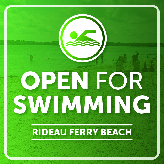
Low Water Status Update in Rideau River Watershed
Low Water Status Update in Rideau River Watershed
VOLUNTEERS WANTED!
Brief Description
During the fall we sample benthic invertebrates using the kick-and-sweep method throughout the Rideau Valley watershed.
What to Expect
You’ll spend a lot of time traveling to remote areas in an RVCA vehicle with one of our professionals. Your day will typically start at 8:00 a.m. and end at 4:00 p.m., however, some days might be longer. You’ll be walking steep slopes; entering cold and fast flowing water wearing chest waders; canoeing in lakes and sometimes working in inclement weather.
When
- Tentative dates are Monday to Friday, October through to November. Depending on the fall conditions, this opportunity may start earlier and/or end later.
Skills and Competencies Required
- To be successful in this role, you will already need to be comfortable traveling long distances, working in cold temperatures in and around water, wading through streams and walking in difficult terrain. We are looking for volunteers with good communication skills, positive attitude and the ability to work in teams.
Skills and Competencies To Be Acquired
To be successful in this role, you will already need to be comfortable travelling long distances, working in cold temperatures in and around water, wading through streams, wearing chest waders, touching benthic invertebrates and walking in difficult terrain. We are looking for volunteers with good communication skills, positive attitude and able to work in teams.
- Aquatic sampling field experience;
- wearing chest waders and working in streams;
- operating a multiparameter water chemistry probe;
- use of a Secchi disk, a composite sampler, and a Van Doren
- Kick and sweep techniques for benthic invertebrates
Be Prepared
You will need your own transportation to and from RVCA headquarters (3889 Rideau Valley Drive, Manotick.
Read the Participant Guide found in the volunteer section of the RVCA website.
You will need to provide:
- your own warm and water-resistant clothing (dressing in layers is a good idea);
- your own footwear and extra socks – wear closed toe shoes to get around;
- to wear chest waders you will require a thick pair of socks with length (no ankle socks);
- your own lunch, snacks, and beverages.
We Supply
- chest waders and flotation safety equipment;
- sampling equipment, supervision and instruction.
RVCA Contacts