


RVCA (1141)
Children categories
Department (68)
Main Office Phone Numbers : 613-692-3571 / 1-800-267-3504
Staff Directory
November 17, 2016
Otter-Hutton Hazard Mapping Public Open Houses
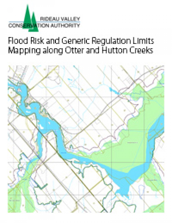
Rideau Lakes, November 14, 2016 — Members of the public are invited to an upcoming open house to review hazard maps. The RVCA has completed draft hazard mapping for Otter Creek (from Otter Lake outlet to the Rideau River) and Hutton Creek (from the Motts Mills Dam to its confluence with Otter Creek). These maps are typically known as “floodplain mapping,” but they also show areas that are prone to natural hazards such as flooding, erosion and natural environment features such as wetlands. The mapping will be used by the Township of Elizabethtown-Kitley, the Township of Rideau Lakes and the…
Published in
Media Release
Otter and Hutton Creeks - Flood Risk and Generic Regulation Limits Mapping Along Otter and Hutton Creeks, 2016
Download attachments:
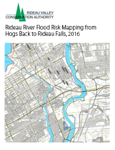
Rideau River Flood Risk Mapping from Hogs Back to Rideau Falls, 2016
Download attachments:
Upper Rideau Lake Regulatory Flood Risk Mapping Report, 2012
Download attachments:
Tay River Flood Risk Mapping Report, Glen Tay Road to Lower Rideau Lake, 2013
Download attachments:
Tay River Flood Risk Mapping Report, Christie Lake to Glen Tay, 2010
Download attachments:
Tay River Flood Plain Mapping, prepared by FENCO Consultants Limited, 1981
Download attachments:
Steven Creek Floodplain Mapping, prepared by Robinson Consultants, 1995
Download attachments:
Rideau River Floodline Mapping, Smiths Falls to Poonamalie, prepared by J.F. MacLaren, 1979
Rideau River Floodline Mapping, Tributaries - Smiths Falls to Kars, prepared by J.F. MacLaren, February 1983
More...
Rideau River Flood Risk Mapping Study: Mooneys Bay to Regional Road 6, prepared by M. M. Dillon Limited, 1989
Rideau River Floodline Mapping: Regional Road 6 to Burritts Rapids: General Report, prepared by Robinson Consultants Inc., 2003
Rideau River Flood Risk Mapping Report, Smiths Falls to Kars, 1976
Download attachments:
Rideau River Flood Risk Mapping Report, Mooney's Bay to Rideau Falls, 1984
Download attachments:


Media Release Archives
-
2024(13 articles)
- October 2024 (1 article)
- August 2024 (2 articles)
- July 2024 (1 article)
- June 2024 (3 articles)
- May 2024 (5 articles)
- February 2024 (1 article)
-
2023(19 articles)
- December 2023 (2 articles)
- October 2023 (3 articles)
- September 2023 (2 articles)
- August 2023 (1 article)
- July 2023 (2 articles)
- June 2023 (1 article)
- May 2023 (3 articles)
- April 2023 (2 articles)
- March 2023 (3 articles)
-
2022(21 articles)
- December 2022 (1 article)
- November 2022 (3 articles)
- October 2022 (2 articles)
- September 2022 (4 articles)
- July 2022 (1 article)
- June 2022 (3 articles)
- May 2022 (2 articles)
- April 2022 (2 articles)
- March 2022 (2 articles)
- February 2022 (1 article)
-
2021(28 articles)
- November 2021 (2 articles)
- October 2021 (1 article)
- September 2021 (3 articles)
- August 2021 (1 article)
- July 2021 (1 article)
- June 2021 (3 articles)
- May 2021 (3 articles)
- April 2021 (5 articles)
- March 2021 (4 articles)
- February 2021 (3 articles)
- January 2021 (2 articles)
-
2020(17 articles)
- November 2020 (2 articles)
- October 2020 (3 articles)
- September 2020 (1 article)
- August 2020 (1 article)
- July 2020 (2 articles)
- June 2020 (1 article)
- May 2020 (1 article)
- March 2020 (4 articles)
- February 2020 (1 article)
- January 2020 (1 article)
-
2019(70 articles)
- December 2019 (1 article)
- October 2019 (3 articles)
- September 2019 (5 articles)
- August 2019 (5 articles)
- July 2019 (2 articles)
- June 2019 (8 articles)
- May 2019 (19 articles)
- April 2019 (19 articles)
- March 2019 (5 articles)
- February 2019 (1 article)
- January 2019 (2 articles)
-
2018(46 articles)
- December 2018 (2 articles)
- November 2018 (3 articles)
- September 2018 (3 articles)
- August 2018 (6 articles)
- July 2018 (5 articles)
- June 2018 (3 articles)
- May 2018 (11 articles)
- April 2018 (6 articles)
- March 2018 (4 articles)
- February 2018 (1 article)
- January 2018 (2 articles)
-
2017(22 articles)
- November 2017 (2 articles)
- October 2017 (3 articles)
- September 2017 (1 article)
- August 2017 (3 articles)
- July 2017 (3 articles)
- June 2017 (5 articles)
- May 2017 (2 articles)
- March 2017 (2 articles)
- February 2017 (1 article)
-
2016(15 articles)
- December 2016 (1 article)
- November 2016 (1 article)
- October 2016 (1 article)
- August 2016 (2 articles)
- June 2016 (4 articles)
- May 2016 (2 articles)
- April 2016 (3 articles)
- February 2016 (1 article)