Super User
Water Safety: Another January Thaw Brings Unsafe Conditions on Rivers and Lakes Throughout Rideau Watershed
January 18, 2018 – Temperatures around the freezing point through the weekend and rain early next week will once again cause the loss of much of the snow cover and unstable ice conditions in the Rideau Valley.
As the snowmelt and rain runoff moves through the Rideau system, the ice cover will be shifting and, in some places, breaking up. Water can be expected to pond on top of the ice. Going on ice covered water bodies is not advisable for the next several days. Slightly more snow on the ground in the upper watershed west of Smiths Falls and more rain in the forecast than for the lower watershed could cause a marked rise on all lakes. Docks and shorelines could be subjected to ice damage.
Levels on the Rideau Canal reservoir lakes, Big Rideau and Bobs, are close to normal for the time of year. The other two reservoir lakes, Upper Rideau and Wolfe, have levels above normal as a result of the mild weather last weekend. However, all four have capacity to accommodate the snowmelt and rain runoff. The ice cover can be expected to shift on each and be unstable for several days until colder temperatures return.
Parents should ensure that children understand the hazards of playing around watercourses in the winter and all watershed residents are advised to stay off of the ice on rivers and streams and avoid icy and snow covered streambanks where footing can be unpredictable.
Conservation Authority staff will continue to monitor conditions and issue further statements as conditions warrant.
(WCS - 2/2018)
January 12, 2018 – With unusually warm temperatures melting much of the snow cover, water levels are rising throughout the Rideau watershed bringing on unstable ice conditions.
Levels can be expected to continue to rise through the day until a forecast rapid freeze occurs mid-afternoon. In faster flowing stream sections, ice has broken up and been moved downstream and there is the potential for ice jamming that could cause localized high water situations.
On lakes and flat stream sections, the ice will have been lifted by the increased water levels and have meltwater ponded on the surface. As temperatures drop, that water will freeze but it will not be sufficiently strong for a few days of cold temperatures.
Parents should ensure that children understand the hazards of playing around watercourses in the winter and all watershed residents are advised to stay off of the ice on rivers and streams and avoid ice and snow covered streambanks where footing can be unpredictable.
Conservation Authority staff will continue to monitor conditions and issue further statements as conditions warrant.
(WCS - 1/2018)
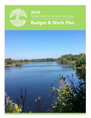
2018 Budget & Work Plan
The Rideau Valley Conservation Authority 2018 Budget & Work Plan is now available. Click here to view it or find it under Annual Work Plans in the Publications section of the website.
2018 Budget and Work Plan
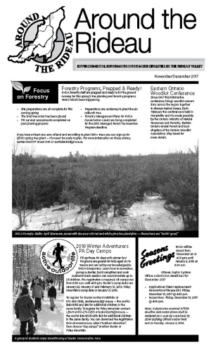
ATR - November-December 2017
More Rain Forecast for Sunday
November 3, 2017 – Rain forecast for Sunday could raise water levels again.
In the order of 25 to 30 millimetres of rain fell on the Rideau watershed yesterday and this morning, less than was forecast. The rain was not enough to raise water levels significantly.
Rain now forecast for Sunday has the potential to be enough to raise the already elevated flows. Ministry of Natural Resources and Forestry meteorologists have forecast 10 to 25 mm of rain on Sunday which could increase to a total of 40 to 75 mm if thunderstorms occur on Sunday night. The result could be localized with increased flows confined to small areas. Or the rain could fall more generally throughout the watershed which again raises the possibility of flooding low-lying areas that have already been affected in the Long Reach.
The Tay in Perth remains a problem with flows limited to the Little Tay. This has caused high flows through Stewart Park. Monitoring of the construction site at the Haggart Island Dams will continue.
Flows in Kemptville Creek have continued to rise despite adjustments to the Oxford Mills Dam. Present flows are below typical spring flows but are ten times the normal for this time of year.
Residents are advised to stay away from rivers as the forecasted weather may rapidly increase river flows, and cause slippery river banks. Parents are encouraged to explain these dangers to their children.
For water level and flow information in the Rideau system as well as the Ottawa River, visit the RVCA Streamflows and Water Levels webpage at:
https://www.rvca.ca/watershed-monitoring-reporting/monitoring/surface-water-quantitiy
For more information about conditions on the Ottawa River, check the webpage of the Ottawa River Regulation Planning Board at http://ottawariver.ca/river-levels-flows.php#river-levels-flows-7-days .
(WCS - 42/2017)
Latest Forecast Rain Expected to Raise Levels Again
Water levels that were already high from rain on Sunday and Monday are expected to increase again if rain forecast for Thursday and Friday falls on the Rideau River watershed.
About 12 millimetres (mm) of rain fell overnight and as much as 40 mm more is expected. This could cause flows in the Rideau below Mooneys Bay to increase to about 320 cubic metres per second. While not an issue in the lower sections of the system, such flows typically mean flooding of low-lying areas on the Long Reach, the section of the river between Manotick and Burritts Rapids, with the access roads to the river side communities at risk.
High flows on the Tay River in Perth continue with most of the flow directed through the Little Tay which has caused flooding in Stewart Park. The construction site at Haggart Island Dam is being monitored closely.
The forecast rain can be expected to cause increased flows in the smaller streams such as Steven Creek. Residents in North Gower can once again expect to see the banks close to full through to next week.
Residents are advised to stay away from rivers as the forecasted weather may rapidly increase river flows, and cause slippery river banks. Parents are encouraged to explain these dangers to their children.
For water level and flow information in the Rideau system as well as the Ottawa River, visit the RVCA Streamflows and Water Levels webpage at: https://www.rvca.ca/watershed-monitoring-reporting/monitoring/surface-water-quantitiy
For more information about conditions on the Ottawa River, check the webpage of the Ottawa River Regulation Planning Board at http://ottawariver.ca/river-levels-flows.php#river-levels-flows-7-days .
(WCS - 41/2017)

