RVCA (1137)
Children categories
Department (67)
Main Office Phone Numbers : 613-692-3571 / 1-800-267-3504
Staff Directory
May 15, 2017
Flood Warning Extent Reduced
Water levels have continued to recede over the weekend and are not expected to be affected significantly by rain forecast for later this week. This has led to a reduction of the coverage of the Flood Warning. The Flood Warning is now limited to the upper Tay River where outflow from Bobs Lake has continued but there has yet to be a significant drop of the water level. Several properties around Christie Lake are still flooded. Sections of the Christie Lake North Shore Road has been under water for several days. Flow of the Tay through Perth is declining slowly…
Published in
Watershed Conditions Statements
What Should You Do If You Are At Risk Of Flooding
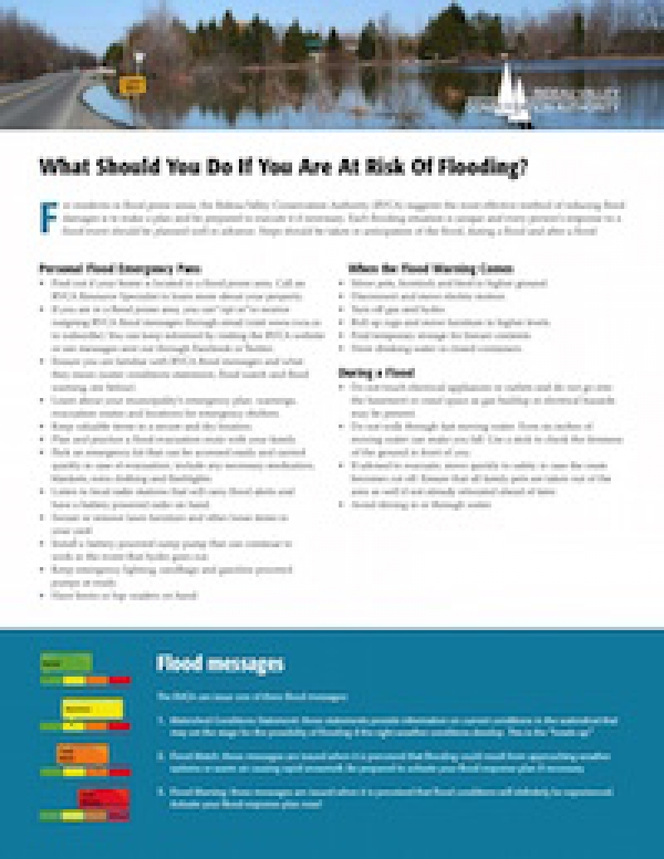
For residents in flood prone areas, the Rideau Valley Conservation Authority (RVCA) suggests the most effective method of reducing flood damages is to make a plan and be prepared to execute it if necessary.
Download attachments:
Cleaning Up After The Flood
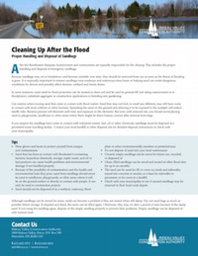
Tips on the proper handling and disposal of sandbags.
Download attachments:
After the Flood
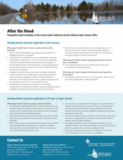
Frequently asked questions of the Conservation Authority and the Ottawa Septic System Office
Download attachments:
May 12, 2017
Weekend Rain Expected To Have Minor Impact
Water levels have declined through the week and are not expected to be affected significantly by rain forecast for the weekend. With no rain through the week water levels have had time to decline. On the Ottawa, levels below Chaudiere Falls have gone down more than 50 centimetres (cm). The Long Reach on the Rideau has dropped 30 cm. The Flood Warning will remain in effect through the weekend because of 20 or more millimetres of rain forecast for Saturday and Sunday. However, to have an impact, the rain would need to be from a widespread system with heavy rain…
Published in
Watershed Conditions Statements
Flood levels on both the Ottawa and Rideau River systems can be expected to decline through the week following peak flows on Monday. No rain is in the forecast for today or tomorrow. During that time, water levels can be expected to decline slowly. However, the Flood Warning will remain in effect because of up to 40 millimetres of rain forecast to start on Thursday or Friday. The impact will depend on how much levels have subsided, how widespread the weather system is and how intensely the rain falls. The areas the RVCA monitors on the Ottawa River, Lac Deschene,…
Published in
Watershed Conditions Statements
May 08, 2017
Rideau River Levels Reaching Peak
Flood levels can be expected to decline through the afternoon today as peaks are being reached on the Rideau and tributaries. Peak levels have been or are being reached in the lower Rideau watershed downstream of Smiths Falls as runoff from the heavy weekend rains passes through the system. The general indication is that levels are stabilizing and will decline over the afternoon. The Long Reach of the Rideau has stabilized and can be expected to start to decline this afternoon. It will take a couple of days for the flood waters to fully recede from the roadways. Hilly Lane,…
Published in
Watershed Conditions Statements
May 08, 2017
Ottawa River Levels Stabilizing
Measurements on the Ottawa River indicate that water levels are stabilizing. This Flood Warning applies to areas around Lac Deschene, at Petrie Island and at Boise Village to the east of Cumberland. All locations covered by this statement are expected to have river water levels stabilize this morning and possibly reach peaks this afternoon or evening. There is no significant rain presently forecast that would cause levels to rise again. The decline water levels may be prolonged by releases from upstream dams as excess water from the more northerly parts of the watershed pass through the system. It will take…
Published in
Watershed Conditions Statements
May 07, 2017
Rain Event Coming to End
Water levels continue to rise but at a slower rate as the rain ends This Flood Warning applies to areas around Lac Deschene, at Petrie Island and at Boise Village to the east of Cumberland. All locations covered by this statement are expected to have river water levels stabilize through today as the rainfall system passes out of eastern Ontario. A peak is expected to be reached by tomorrow on the Ottawa as the flows in the tributary rivers reach peaks through this evening and overnight. Some more rain is in Ontario Ministry of Natural Resources and Forestry weather forecasts…
Published in
Watershed Conditions Statements
May 07, 2017
Further Heavy Rain Not Expected
The rain is forecast to tail off today and tomorrow in Eastern Ontario finishing with a bout of freezing rain and snow flurries in some locations. Flows in the Rideau system are now not expected to reach flows experienced in the spring freshet (defined as a flood of a river from heavy rain or melted snow). The rate of rise in the Rideau and its tributaries is slowing as the lower reaches of the system stabilize. Levels on the Long Reach will decline to navigation levels and access to Hilly Lane and its neighbours will improve through the coming week.…
Published in
Watershed Conditions Statements
More...
May 06, 2017
Flooding to Reach April Peak
Water levels in the Rideau Valley are expected to reach levels previously reached on April 7. Rainfall will continue to cause levels to rise again inundating those locations flooded recently in the spring freshet. Road ways in the communities on the Long Reach of the Rideau River between Kars and Kemptville have already been water covered or will be later today. Belmont Avenue and the Windsor Park pathway in Ottawa South and Brantwood Park in Ottawa East will be flooded again. No other flooding in the urban area adjacent to the Rideau River is expected to be flooded. All of…
Published in
Watershed Conditions Statements
Flooding is expected in the Rideau River watershed today and through the weekend. Previous rain from the beginning of the week has increased water levels throughout the watershed. Parks Canada staff have been making adjustments at all dams to reduce the water levels with some success. However, there is still excess water in the Rideau Canal reservoir lakes. Christie Lake on the Tay River, is expected to have further flood issues as water is released from Bobs Lake to relieve ongoing high water there. Releases from Big Rideau Lake will have to be made today which will increase flows downstream.…
Published in
Watershed Conditions Statements
Rain forecast for Friday and Saturday is expected to cause levels to increase again.. Parks Canada staff had begun preparations for the opening of the Rideau Canal navigation season prior to the heavy rain last Monday. Dams that had been closed had to be re-opened to pass water through the system to bring levels down. The level on the Long Reach had begun to decline but will increase again due to rain that is forecast for Friday and Saturday. A widespread weather system is forecast to drop a two day total of 35 to 70 millimetres of rain on Eastern…
Published in
Watershed Conditions Statements
May 04, 2017
Water Levels to Increase in Lower Ottawa River
Rain forecast for Friday and Saturday is expected to cause water levels to continue to rise through the weekend. This Flood Warning applies to areas around Lac Deschene, at Petrie Island and at Boise Village to the east of Cumberland. Another rain event is forecast for Friday and Saturday with a possible two-day total of 35 millimetres to as much as 70 mm. Increased water levels will occur whatever the total rainfall is. Levels could increase by 25 to 35 centimetres depending on timing, location and amount of rain. The rain is forecast to taper off on Sunday so a…
Published in
Watershed Conditions Statements